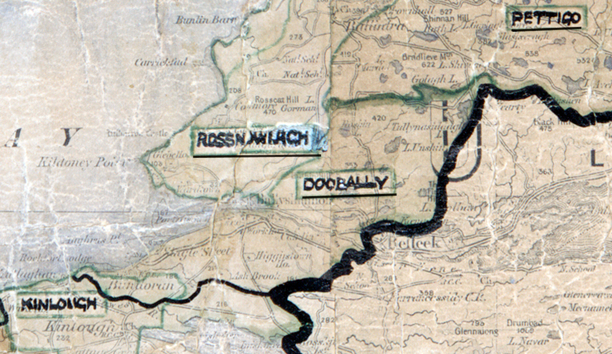
 Area: Doobally
Started: October 1958
Finished: January 1959
Poles used: 399
Line used (km): 35
Premises connected: 105
The figures above were sourced from our REO News magazine, to learn more about what these figures mean, visit our interactive map. The map above shows the area boundary and is from a digitised version of the original map used during the scheme.
Doobally was a tough nut to crack according to The REO News from May 1959.
This digital scan from the REO News displays the following text:
"DOOBALLY: A Border Area, near Pettigo. Another tough construction nut to crack, and a heartbreaking backslider problem. Out of 496 houses, only 124 eventually took supply. Sales reflected the general theme – £330 – and little or no hope of future sales or post‑development is held out."