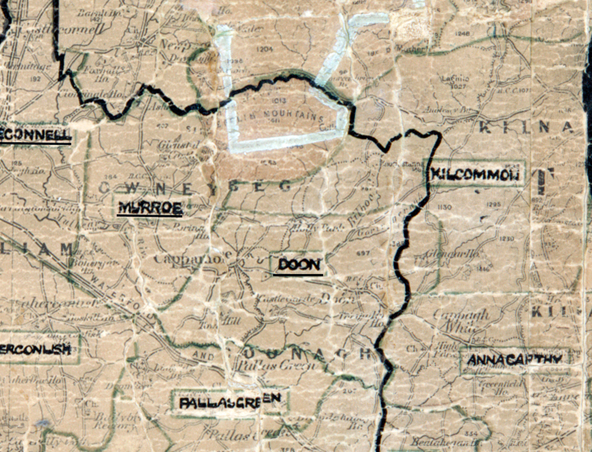
 Area: Doon
Started: August 1953
Finished: April 1954
Poles used: 1324
Line used (km): 120
Premises connected: 320
The figures above were sourced from our REO News magazine, to learn more about what these figures mean, visit our interactive map. The map above shows the area boundary and is from a digitised version of the original map used during the scheme.
There were no labour difficulties in Doon according to The REO News from May 1954.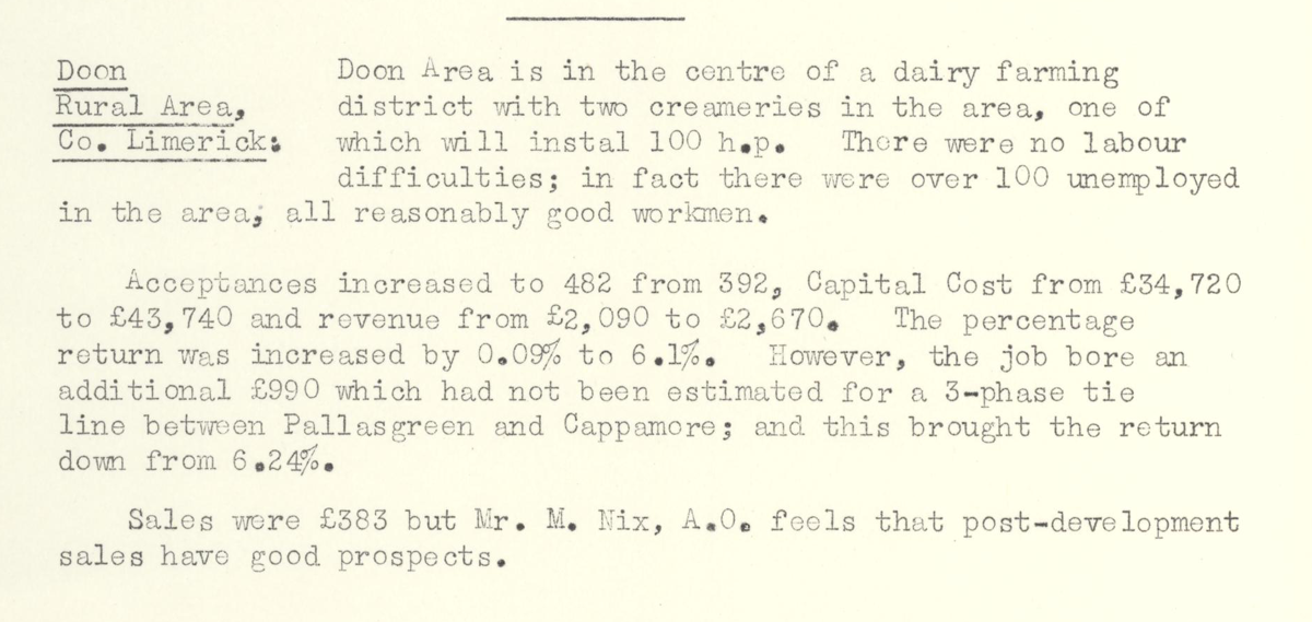
This digital scan from the REO News displays the following text:
"Doon Rural Area, Co. Limerick: Doon Area is in the centre of a dairy farming district with two creameries in the area, one of which will instal 100 h.p. There were no labour difficulties; in fact there were over 100 unemployed in the area; all reasonably good workmen.
Acceptances increased to 482 from 392, Capital Cost from £34,720 to £43,740 and revenue from £2,090 to £2,670. The percentage return was increased by 0.09% to 6.17%. However, the job bore an additional £990 which had not been estimated for a 3‑phase tie line between Pallasgreen and Cappamore; and this brought the return down from 6.24%.
Sales were £383 but Mr. M. Nix, A.O. feels that post‑development sales have good prospects."