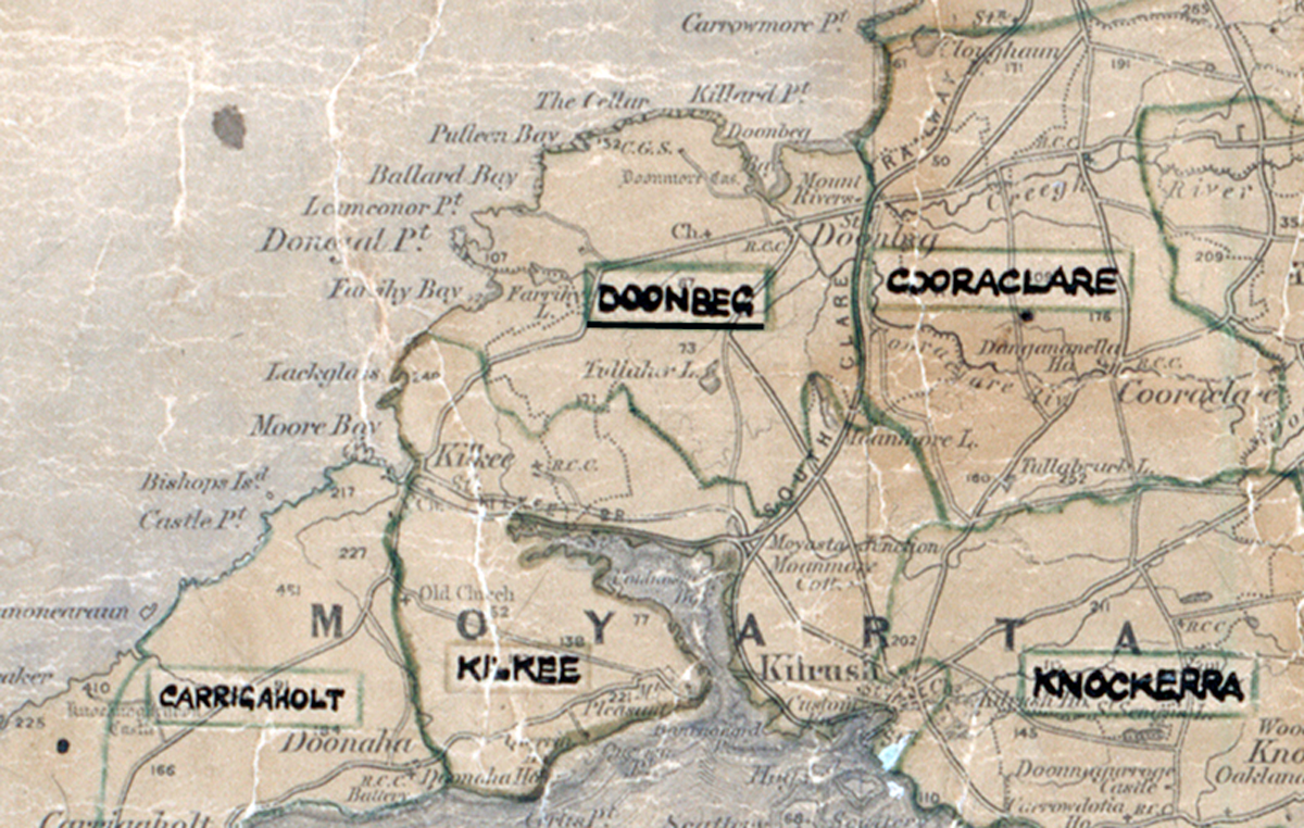
 Area: Doonbeg
Started: July 1956
Finished: September 1957
Poles used: 714
Line used (km): 61
Premises connected: 230
The figures above were sourced from our REO News magazine, to learn more about what these figures mean, visit our interactive map. The map above shows the area boundary and is from a digitised version of the original map used during the scheme.
The REO News from October 1957 reports that some rock and bog were encountered in Doonbeg.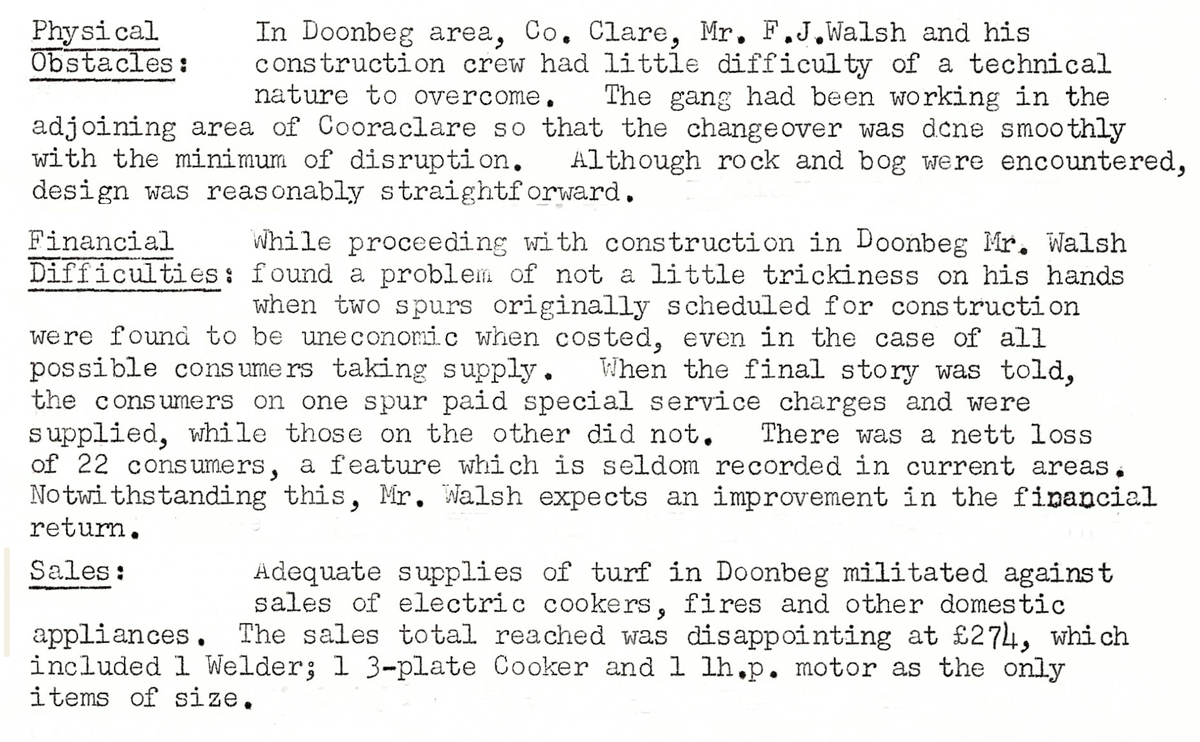 This digital scan from the REO News displays the following text:
“Doonbeg Rural Area, Co. Clare: In Doonbeg area, Co. Clare, Mr. F. J. Walsh and his construction crew had little difficulty of a technical nature to overcome. The gang had been working in the adjoining area of Cooraclare so that the changeover was done smoothly with the minimum of disruption. Although rock and bog were encountered, design was reasonably straightforward.
While proceeding with construction in Doonbeg Mr. Walsh found a problem of not a little trickiness on his hands when two spurs originally scheduled for construction were found to be uneconomic when costed, even in the case of all possible consumers taking supply. When the final story was told, the consumers on one spur paid special service charges and were supplied, while those on the other did not. There was a nett loss of 22 consumers, a feature which is seldom recorded in current areas. Notwithstanding this, Mr. Walsh expects an improvement in the financial return.
Adequate supplies of turf in Doonbeg militated against sales of electric cookers, fires and other domestic appliances. The sales total reached was disappointing at £274, which included 1 Welder; 1 3‑plate Cooker and 1 1 h.p. motor as the only items of size.”