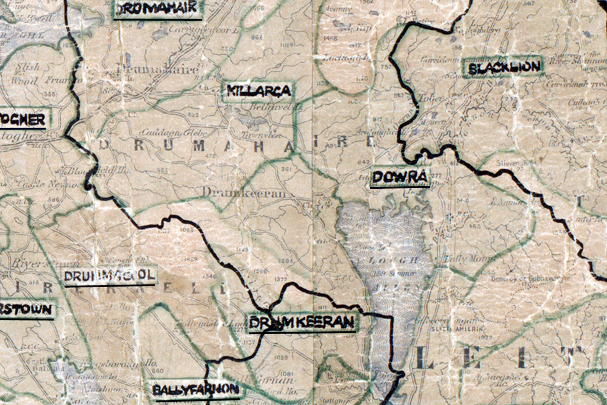
 Area: Dowra
Started: April 1959
Finished: August 1959
Poles used: 784
Line used (km): 75
Premises connected: 174
The figures above were sourced from our REO News magazine, to learn more about what these figures mean, visit our interactive map. The map above shows the area boundary and is from a digitised version of the original map used during the scheme.
Emigration was a concern in Dowra according to The REO News from September 1959. This digital scan from the REO News displays the following text:
"Dowra (Leitrim) was another emigration Area, where the population has halved itself in thirty years — two schools closed recently, for want of pupils! Those who stay rear cattle on barren slopes. £300 sales to 216 such consumers — small appliances mostly — was achieved by using a salesvan in the Area. In addition, 30 kW of night storage and infra red heating were installed."