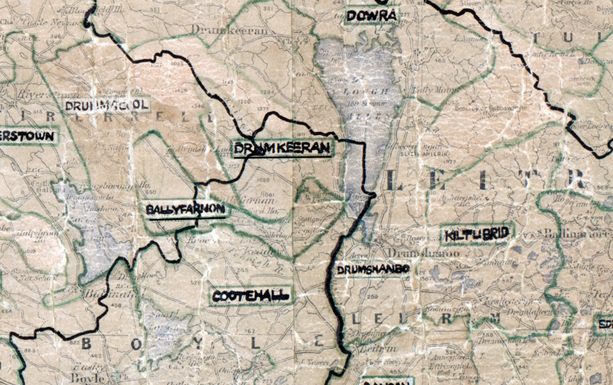
 Area: Drumkeeran
Started: August 1957
Finished: January 1958
Poles used: 957
Line used (km): 79
Premises connected: 290
The figures above were sourced from our REO News magazine, to learn more about what these figures mean, visit our interactive map. The map above shows the area boundary and is from a digitised version of the original map used during the scheme.
An outbreak of flu added to the construction difficulties in Drumkeeran according to The REO News from May/June 1958.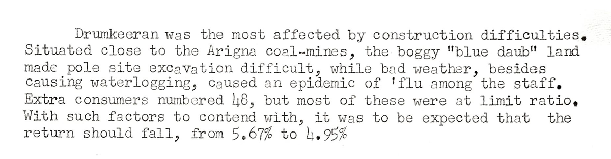 This digital scan from the REO News displays the following text:
"Drumkeeran was the most affected by construction difficulties. Situated close to the Arigna coal-mines, the boggy ‘blue daub’ land made pole site excavation difficult, while bad weather, besides causing waterlogging, caused an epidemic of ’flu among the staff. Extra consumers numbered 48, but most of these were at limit ratio. With such factors to contend with, it was to be expected that the return should fall, from 5.67% to 4.95%."