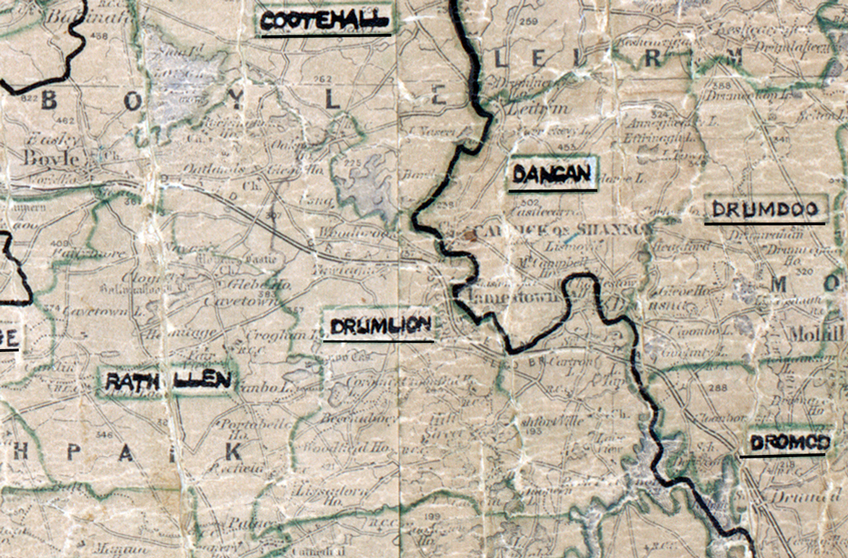
 Area: Drumlion
Started: April 1955
Finished: March 1956
Poles used: 1739
Line used (km): 157
Premises connected: 475
The figures above were sourced from our REO News magazine, to learn more about what these figures mean, visit our interactive map. The map above shows the area boundary and is from a digitised version of the original map used during the scheme.
The REO News from April 1956 contained a report from Drumlion.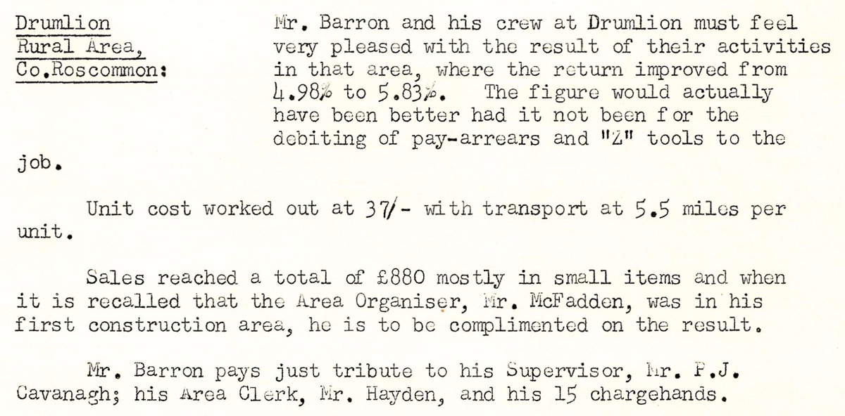 This digital scan from the REO News displays the following text:
"Drumlion Rural Area, Co. Roscommon: Mr. Barron and his crew at Drumlion must feel very pleased with the result of their activities in that area, where the return improved from 4.98% to 5.83%. The figure would actually have been better had it not been for the debiting of pay‑arrears and “Z” tools to the job.
Unit cost worked out at 37/‑ with transport at 5.5 miles per unit.
Sales reached a total of £880 mostly in small items and when it is recalled that the Area Organiser, Mr. McFadden, was in his first construction area, he is to be complimented on the result.
Mr. Barron pays just tribute to his Supervisor, Mr. F.J. Cavanagh; his Area Clerk, Mr. Hayden, and his 15 chargehands."