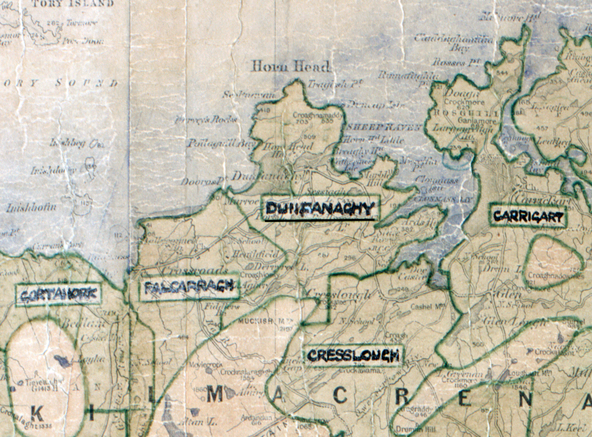
 Area: Dunfanaghy
Started: July 1956
Finished: October 1956
Poles used: 738
Line used (km): 61
Premises connected: 130
The figures above were sourced from our REO News magazine, to learn more about what these figures mean, visit our interactive map. The map above shows the area boundary and is from a digitised version of the original map used during the scheme.
Dunfanaghy is one of the most picturesque spots in Donegal according to The REO News from November 1956.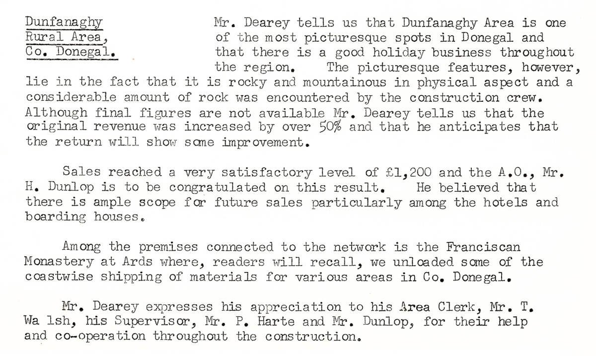
This digital scan from the REO News displays the following text:
"Dunfanaghy Rural Area, Co. Donegal: Mr. Dearey tells us that Dunfanaghy Area is one of the most picturesque spots in Donegal and that there is a good holiday business throughout the region. The picturesque features, however, lie in the fact that it is rocky and mountainous in physical aspect and a considerable amount of rock was encountered by the construction crew. Although final figures are not available Mr. Dearey tells us that the original revenue was increased by over 50% and that he anticipates that the return will show some improvement.
Sales reached a very satisfactory level of £1,200 and the A.O., Mr. H. Dunlop is to be congratulated on this result. He believed that there is ample scope for future sales particularly among the hotels and boarding houses.
Among the premises connected to the network is the Franciscan Monastery at Ards where, readers will recall, we unloaded some of the coastwise shipping of materials for various areas in Co. Donegal.
Mr. Dearey expresses his appreciation to his Area Clerk, Mr. T. Walsh, his Supervisor, Mr. P. Harte and Mr. Dunlop, for their help and co‑operation throughout the construction."