 Area: Dungloe
Started: September 1955
Finished: October 1956
Poles used: 996
Line used (km): 78
Premises connected: 325
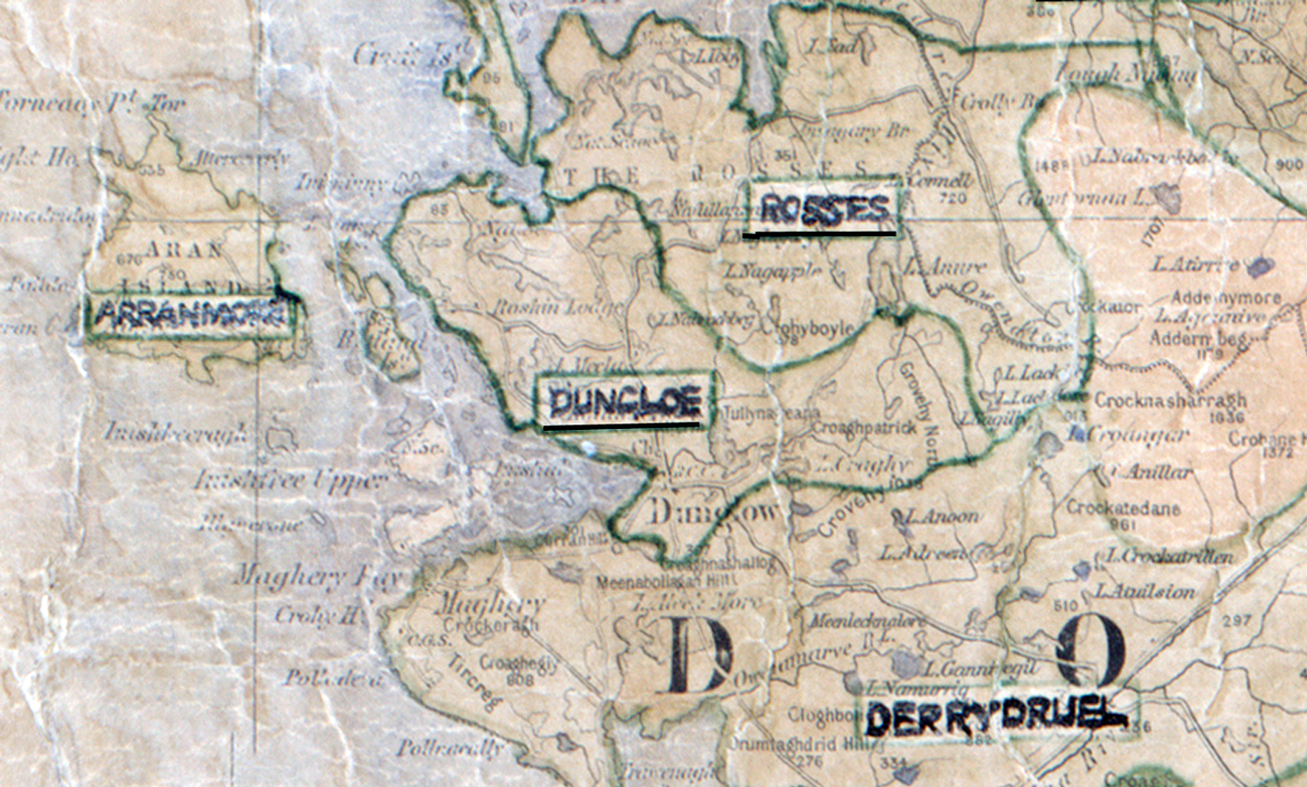
The figures above were sourced from our REO News magazine, to learn more about what these figures mean, visit our interactive map. The map above shows the area boundary and is from a digitised version of the original map used during the scheme.
Construction conditions were difficult in Dungloe reports The REO News from January 1957.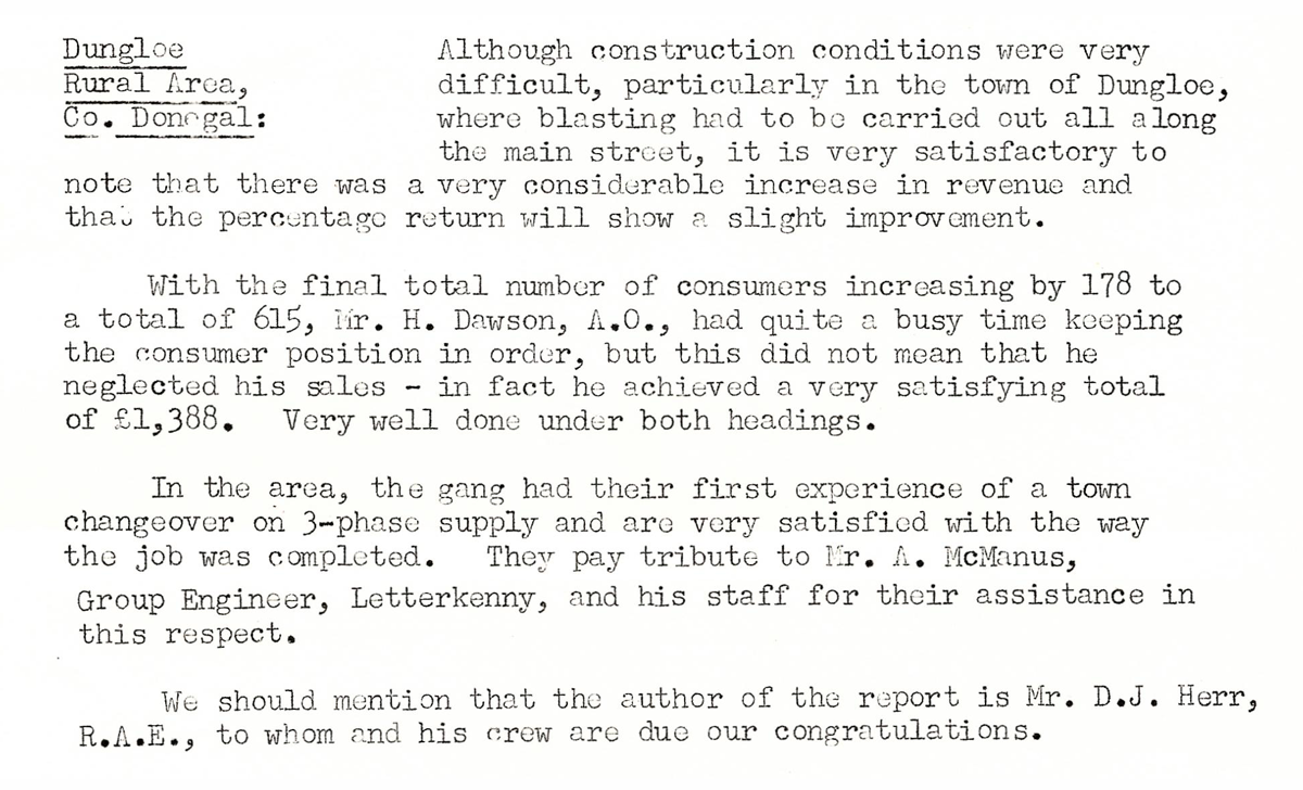 This digital scan from the REO News displays the following text:
"Dungloe Rural Area, Co. Donegal: Although construction conditions were very difficult, particularly in the town of Dungloe, where blasting had to be carried out all along the main street, it is very satisfactory to note that there was a very considerable increase in revenue and that the percentage return will show a slight improvement.
With the final total number of consumers increasing by 178 to a total of 615, Mr. H. Dawson, A.O., had quite a busy time keeping the consumer position in order, but this did not mean that he neglected his sales – in fact he achieved a very satisfying total of £1,388. Very well done under both headings.
In the area, the gang had their first experience of a town changeover on 3‑phase supply and are very satisfied with the way the job was completed. They pay tribute to Mr. A. McManus, Group Engineer, Letterkenny, and his staff for their assistance in this respect.
We should mention that the author of the report is Mr. D. J. Herr, R.A.E., to whom and his crew are due our congratulations."