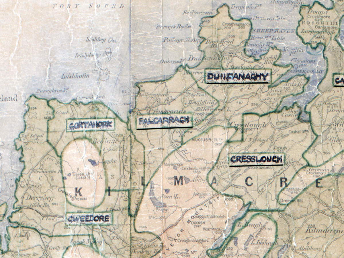
 Area: Falcarragh
Started: June 1956
Finished: July 1956
Poles used: 806
Line used (km): 71
Premises connected: 120
The figures above were sourced from our REO News magazine, to learn more about what these figures mean, visit our interactive map. The map above shows the area boundary and is from a digitised version of the original map used during the scheme.
The REO News from September 1956 reports that houses and holdings were small in Falcarragh.
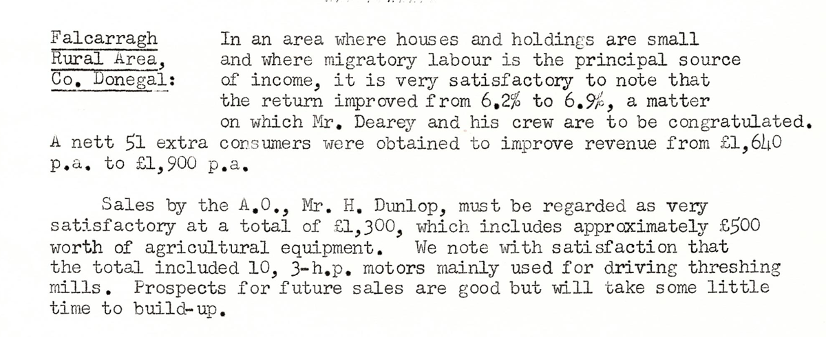
This digital scan from the REO News displays the following text:
"Falcarragh Rural Area, Co. Donegal: In an area where houses and holdings are small and where migratory labour is the principal source of income, it is very satisfactory to note that the return improved from 6.2% to 6.9%, a matter on which Mr. Dearey and his crew are to be congratulated. A nett 51 extra consumers were obtained to improve revenue from £1,640 p.a. to £1,900 p.a.
Sales by the A.O., Mr. H. Dunlop, must be regarded as very satisfactory at a total of £1,300, which includes approximately £500 worth of agricultural equipment. We note with satisfaction that the total included 10, 3‑h.p. motors mainly used for driving threshing mills. Prospects for future sales are good but will take some little time to build‑up."