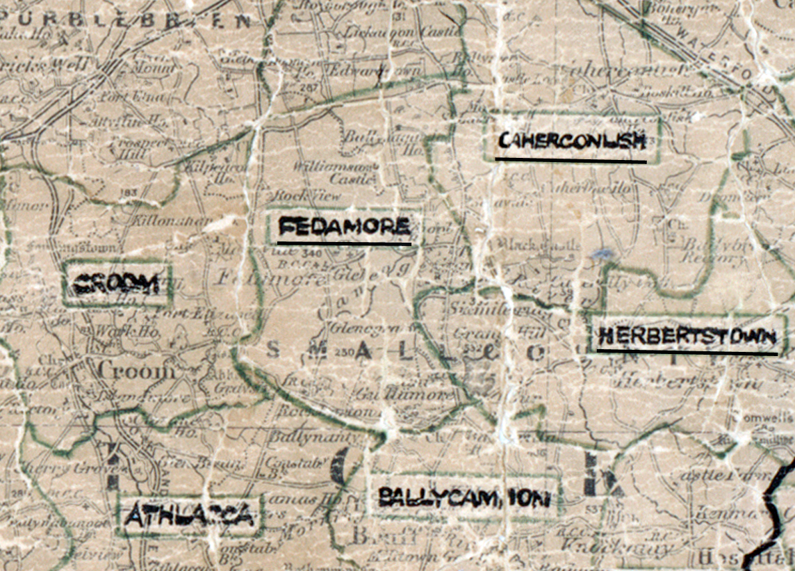
 Area: Fedamore
Started: August 1953
Finished: May 1954
Poles used: 877
Line used (km): 81
Premises connected: 260
The figures above were sourced from our REO News magazine, to learn more about what these figures mean, visit our interactive map. The map above shows the area boundary and is from a digitised version of the original map used during the scheme.
The REO News from July 1954 reports on some serious flooding in Fedamore.
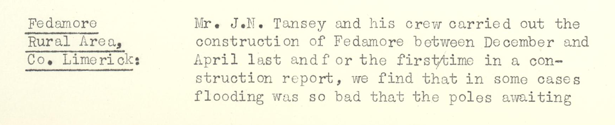
This digital scan from the REO News displays the following text:
"Fedamore Rural Area, Co. Limerick: Mr. J. N. Tansey and his crew carried out the construction of Fedamore between December and April last and for the first time in a construction report, we find that in some cases flooding was so bad that the poles awaiting"
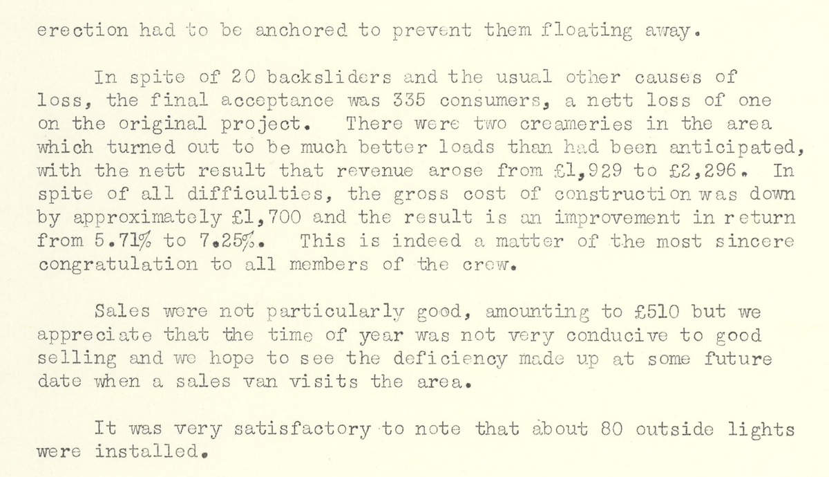
This digital scan from the REO News displays the following text:
"erection had to be anchored to prevent them floating away.
In spite of 20 backsliders and the usual other causes of loss, the final acceptance was 335 consumers, a nett loss of one on the original project. There were two creameries in the area which turned out to be much better loads than had been anticipated, with the nett result that revenue arose from £1,929 to £2,296. In spite of all difficulties, the gross cost of construction was down by approximately £1,700 and the result is an improvement in return from 5.71% to 7.25%. This is indeed a matter of the most sincere congratulation to all members of the crew.
Sales were not particularly good, amounting to £510 but we appreciate that the time of year was not very conducive to good selling and we hope to see the deficiency made up at some future date when a sales van visits the area.
It was very satisfactory to note that about 80 outside lights were installed."