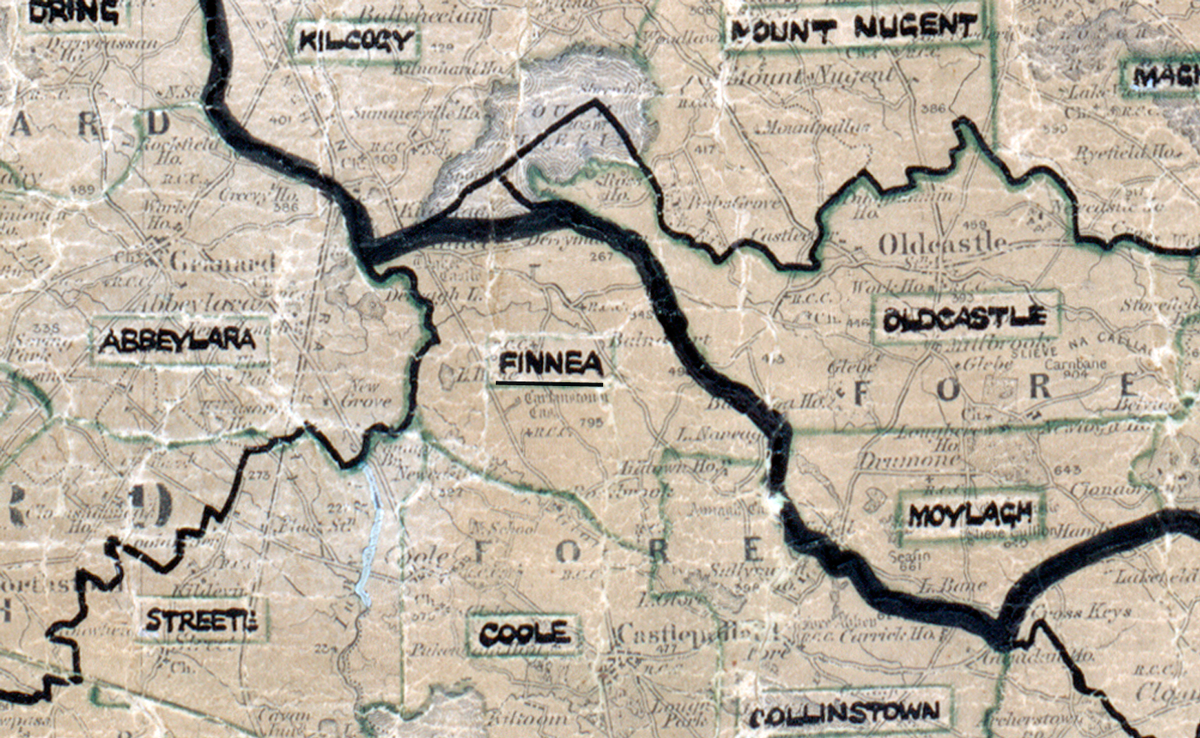
 Area: Finnea
Started: September 1954
Finished: June 1955
Poles used: 490
Line used (km): 48
Premises connected: 56
The figures above were sourced from our REO News magazine, to learn more about what these figures mean, visit our interactive map. The map above shows the area boundary and is from a digitised version of the original map used during the scheme.
Working conditions were good in Finnea according to The REO News from October 1955.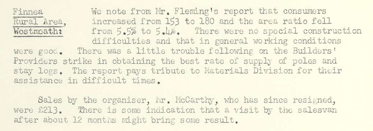 This digital scan from the REO News displays the following text:
"Finnea Rural Area, Co. Westmeath: We note from Mr. Fleming’s report that consumers increased from 153 to 180 and the area ratio fell from 5.5% to 5.4%. There were no special construction difficulties and that in general working conditions were good. There was a little trouble following on the Builders’ Providers strike in obtaining the best rate of supply of poles and stay logs. The report pays tribute to Materials Division for their assistance in difficult times.
Sales by the organiser, Mr. McCarthy, who has since resigned, were £213. There is some indication that a visit by the salesvan after about 12 months might bring some result."