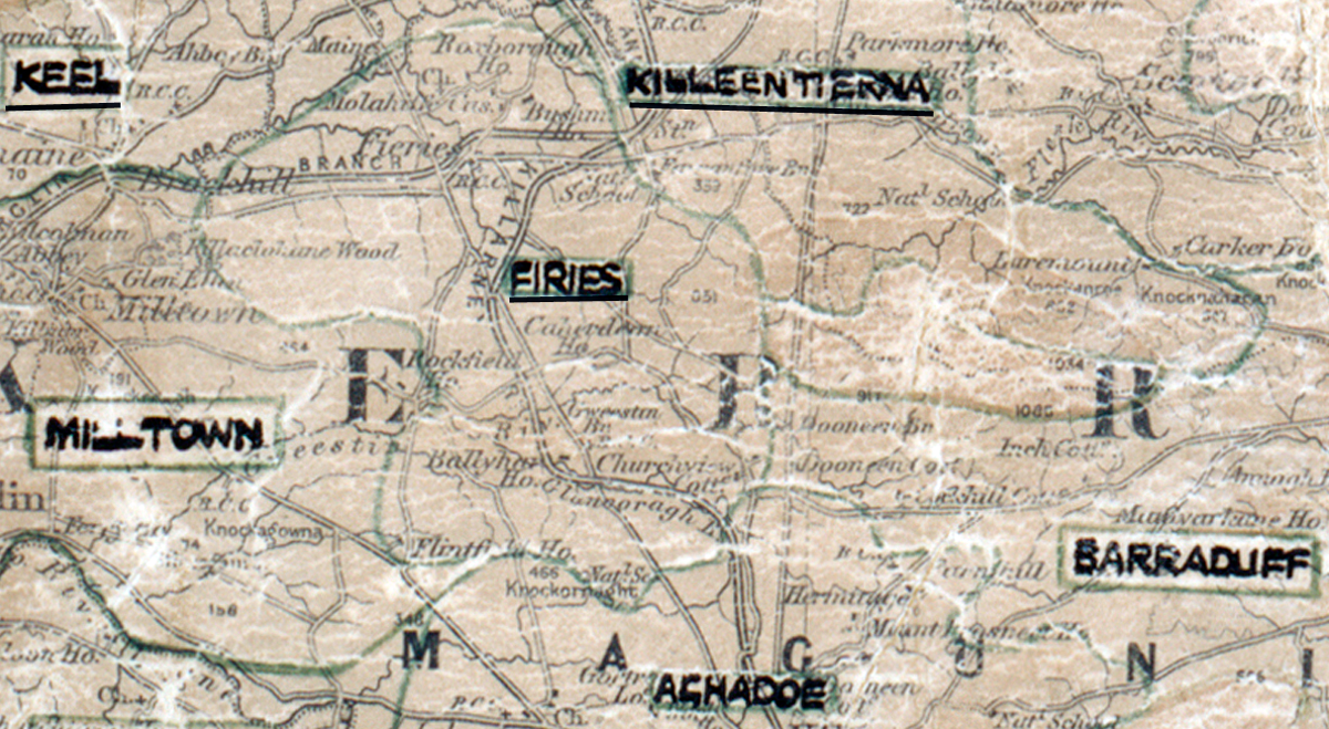
 Area: Firies
Started: September 1955
Finished: February 1956
Poles used: 1567
Line used (km): 133
Premises connected: 196
The figures above were sourced from our REO News magazine, to learn more about what these figures mean, visit our interactive map. The map above shows the area boundary and is from a digitised version of the original map used during the scheme.
Firies was mainly an area of medium sized farms according to The REO News from July 1956.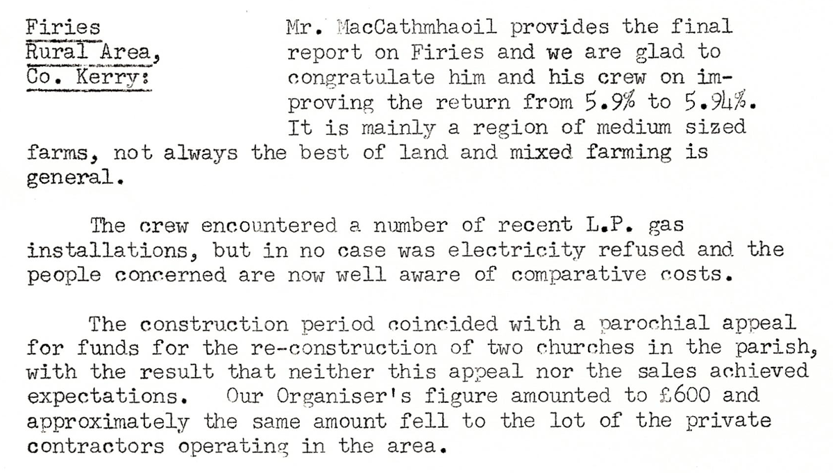 This digital scan from the REO News displays the following text:
"Firies Rural Area, Co. Kerry: Mr. MacCathmhaoil provides the final report on Firies and we are glad to congratulate him and his crew on improving the return from 5.9% to 5.94%. It is mainly a region of medium sized farms, not always the best of land and mixed farming is general.
The crew encountered a number of recent L.P. gas installations, but in no case was electricity refused and the people concerned are now well aware of comparative costs.
The construction period coincided with a parochial appeal for funds for the re‑construction of two churches in the parish, with the result that neither this appeal nor the sales achieved expectations. Our Organiser’s figure amounted to £600 and approximately the same amount fell to the lot of the private contractors operating in the area."