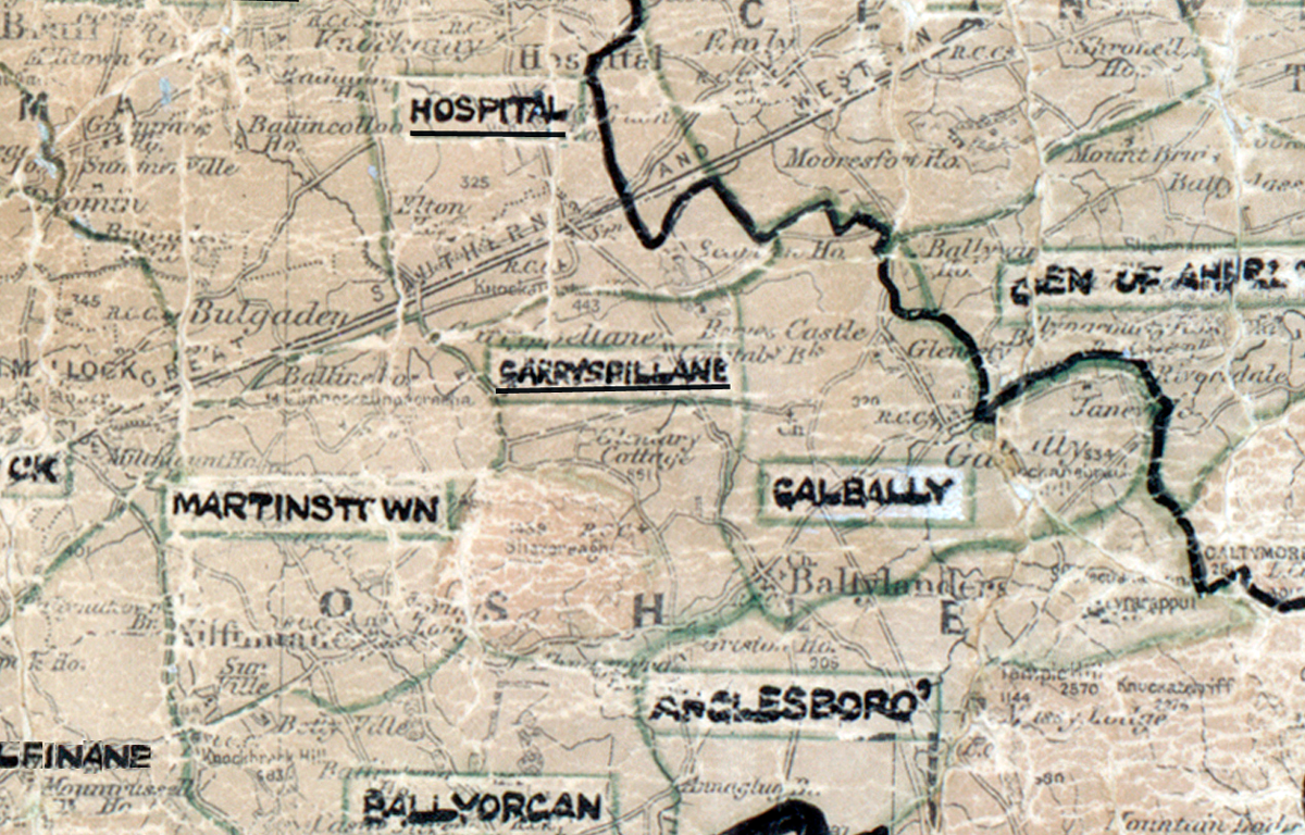
 Area: Garryspillane
Started: December 1955
Finished: July 1956
Poles used: 569
Line used (km): 57
Premises connected: 169
The figures above were sourced from our REO News magazine, to learn more about what these figures mean, visit our interactive map. The map above shows the area boundary and is from a digitised version of the original map used during the scheme.
The REO News from October 1956 reports that Garryspillane was rather hilly.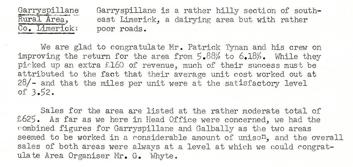 This digital scan from the REO News displays the following text:
"Garryspillane Rural Area, Co. Limerick: Garryspillane is a rather hilly section of south‑east Limerick, a dairying area but with rather poor roads.
We are glad to congratulate Mr. Patrick Tynan and his crew on improving the return for the area from 5.88% to 6.18%. While they picked up an extra £160 of revenue, much of their success must be attributed to the fact that their average unit cost worked out at 28/– and that the miles per unit were at the satisfactory level of 3.52.
Sales for the area are listed at the rather moderate total of £625. As far as we here in Head Office were concerned, we had the combined figures for Garryspillane and Galbally as the two areas seemed to be worked in a considerable amount of unison, and the overall sales of both areas were always at a level at which we could congratulate Area Organiser Mr. G. Whyte."