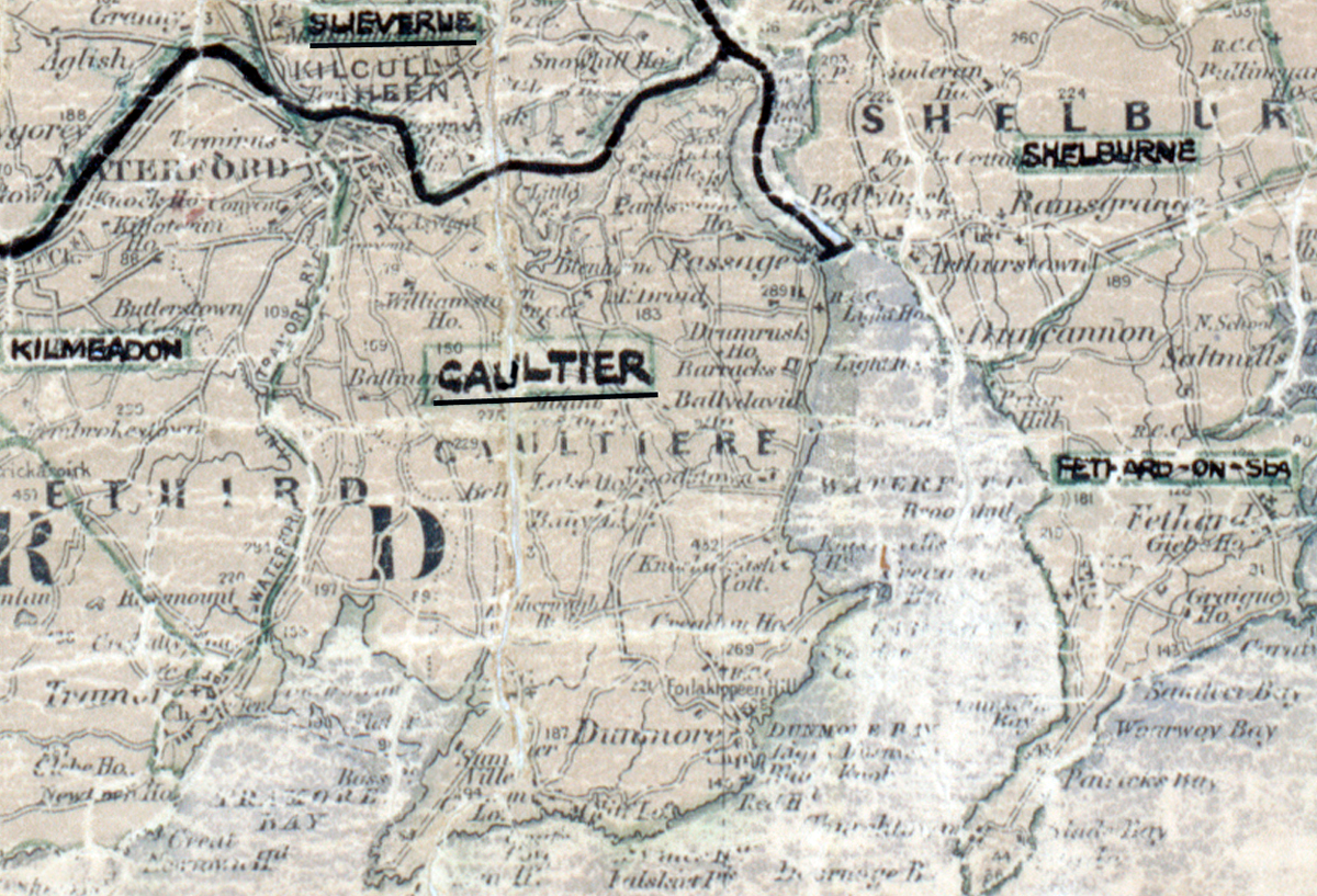
 Area: Gaultier
Started: April 1957
Finished: January 1958
Poles used: 1595
Line used (km): 140
Premises connected: 444
The figures above were sourced from our REO News magazine, to learn more about what these figures mean, visit our interactive map. The map above shows the area boundary and is from a digitised version of the original map used during the scheme.
Gaultier was mentioned briefly in The REO News from June 1958.
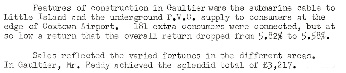
This digital scan from the REO News displays the following text:
"Features of construction in Gaultier were the submarine cable to Little Island and the underground P.V.C. supply to consumers at the edge of Coxstown Airport. 181 extra consumers were connected, but at so low a return that the overall return dropped from 5.82% to 5.58%.
Sales reflected the varied fortunes in the different areas. In Gaultier, Mr. Reddy achieved the splendid total of £3,217."