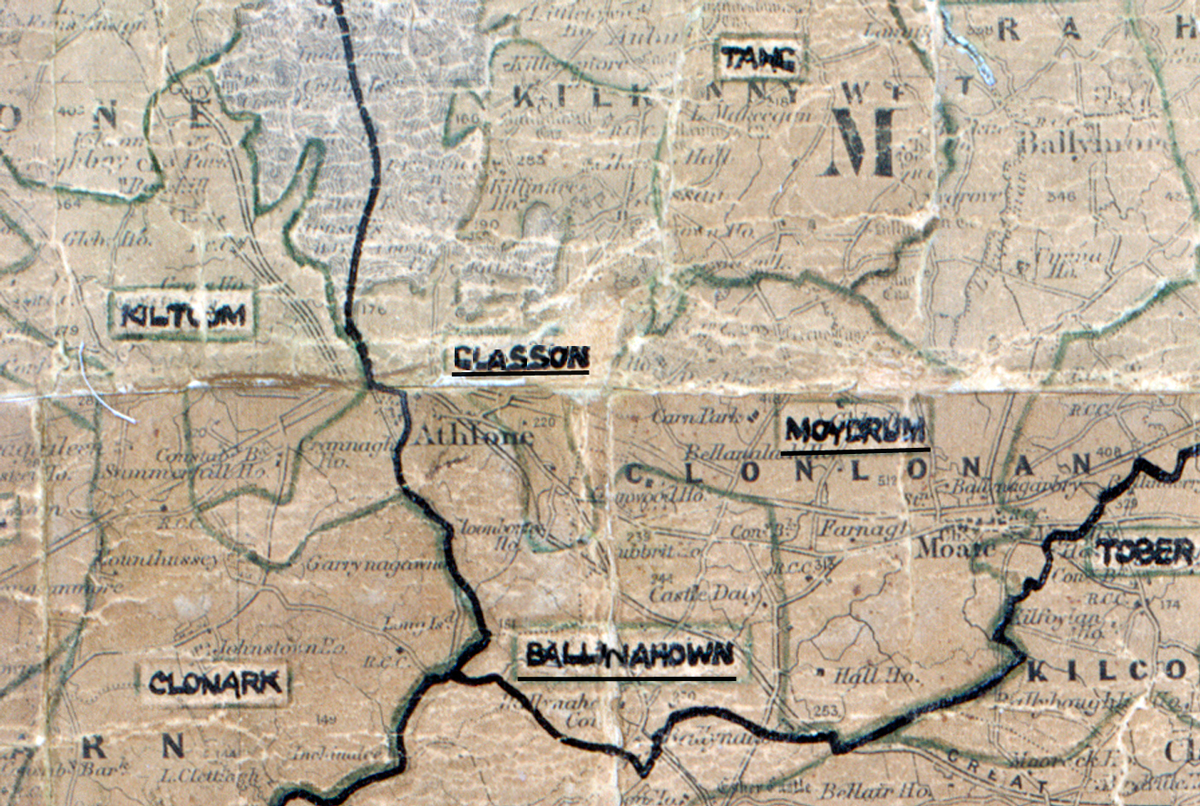
 Area: Glasson
Started: March 1952
Finished: July 1952
Poles used: 795
Line used (km): 69
Premises connected: 118
The figures above were sourced from our REO News magazine, to learn more about what these figures mean, visit our interactive map. The map above shows the area boundary and is from a digitised version of the original map used during the scheme.
Some consumers were lost through backsliding according to The REO News from January 1953.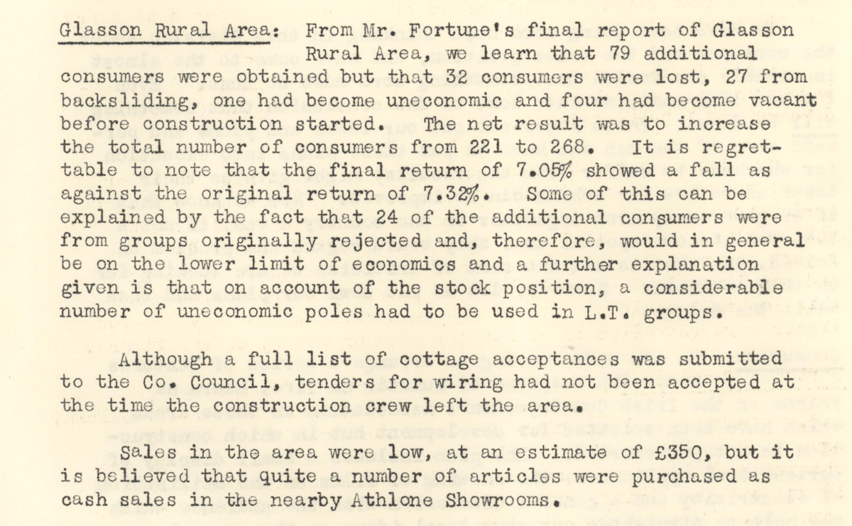 This digital scan from the REO News displays the following text:
"Glasson Rural Area: From Mr. Fortune’s final report of Glasson Rural Area, we learn that 79 additional consumers were obtained but that 32 consumers were lost, 27 from backsliding, one had become uneconomic and four had become vacant before construction started. The nett result was to increase the total number of consumers from 221 to 268. It is regrettable to note that the final return of 7.05% showed a fall as against the original return of 7.32%. Some of this can be explained by the fact that 24 of the additional consumers were from groups originally rejected and, therefore, would in general be on the lower limit of economics and a further explanation given is that on account of the stock position, a considerable number of uneconomic poles had to be used in L.T. groups.
Although a full list of cottage acceptances was submitted to the Co. Council, tenders for wiring had not been accepted at the time the construction crew left the area.
Sales in the area were low, at an estimate of £350, but it is believed that quite a number of articles were purchased as cash sales in the nearby Athlone Showrooms."