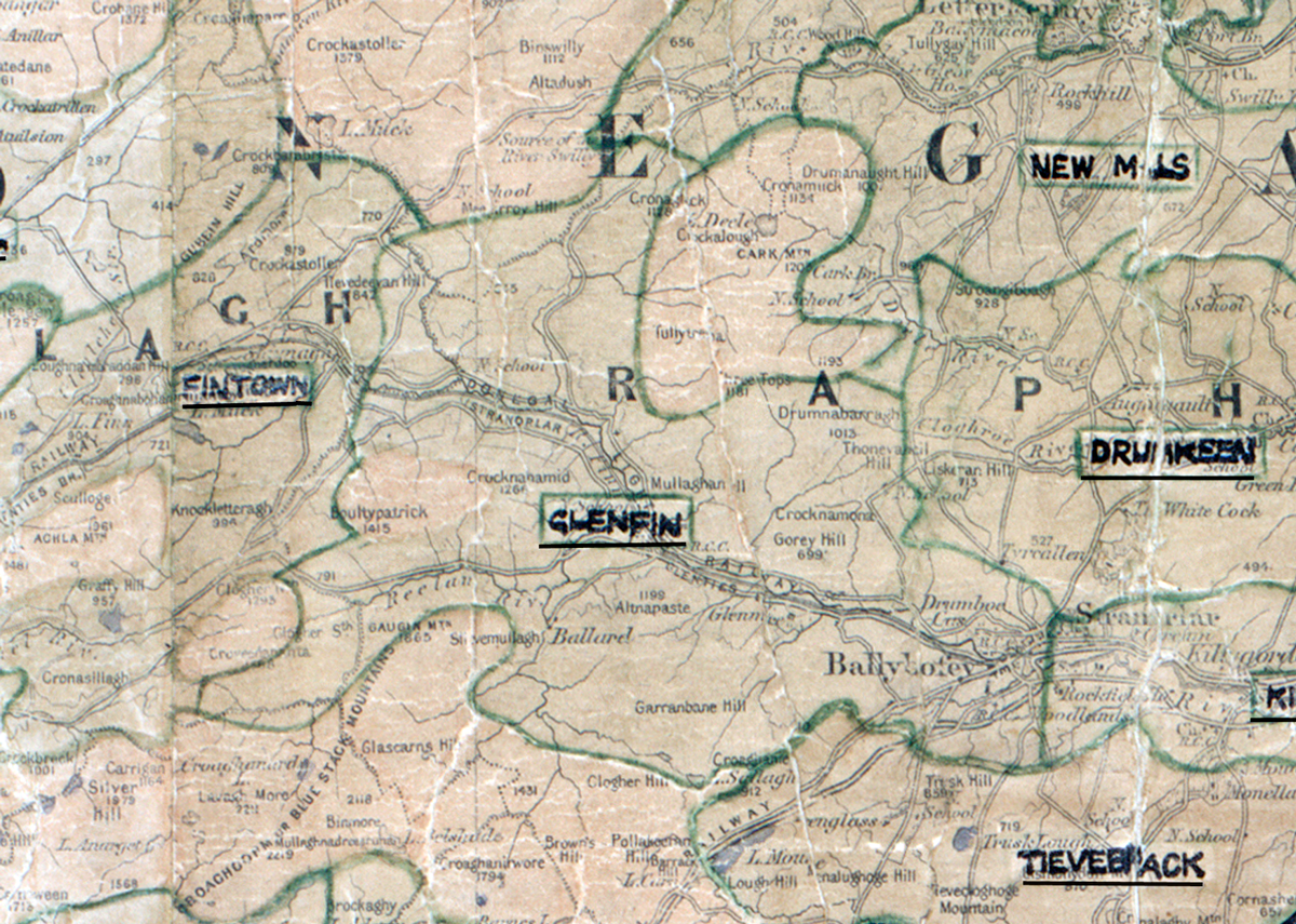
 Area: Glenfin
Started: July 1956
Finished: May 1957
Poles used: 1408
Line used (km): 116
Premises connected: 340
The figures above were sourced from our REO News magazine, to learn more about what these figures mean, visit our interactive map page. The map above shows the area boundary and is from a digitised version of the original map used during the scheme.
Damage caused some difficulties in Glenfin according to a report in The REO News from July 1957.
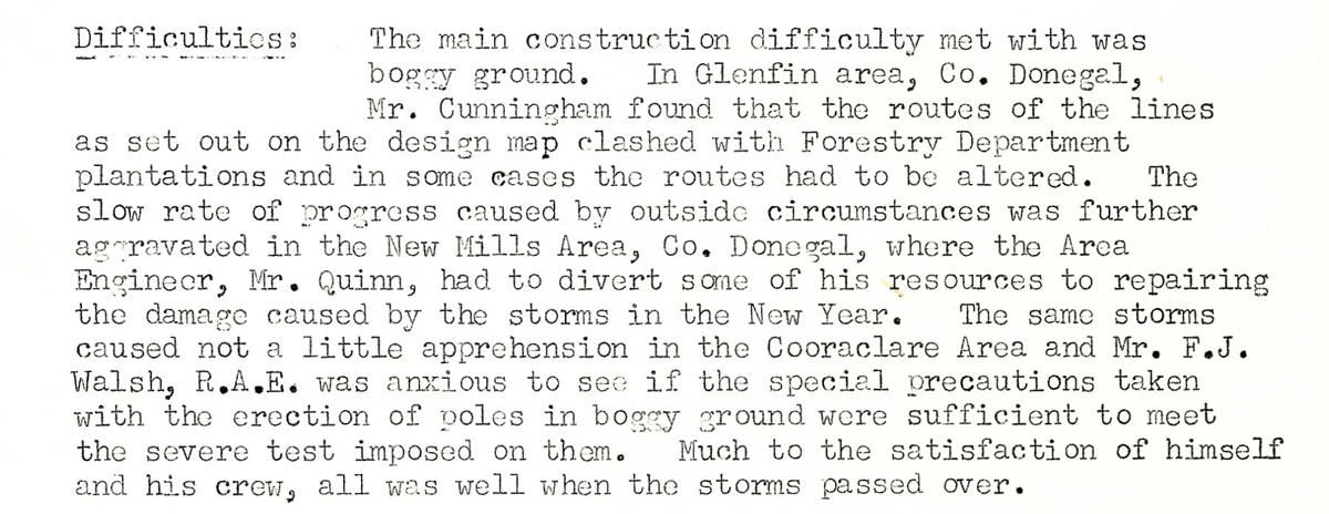
This digital scan from the REO News displays the following text:
"Difficulties: The main construction difficulty met with was boggy ground. In Glenfin area, Co. Donegal, Mr. Cunningham found that the routes of the lines as set out on the design map clashed with Forestry Department plantations and in some cases the routes had to be altered. The slow rate of progress caused by outside circumstances was further aggravated in the New Mills Area, Co. Donegal, where the Area Engineer, Mr. Quinn, had to divert some of his resources to repairing the damage caused by the storms in the New Year. The same storms caused not a little apprehension in the Cooraclare Area and Mr. F. J. Walsh, R.A.E. was anxious to see if the special precautions taken with the erection of poles in boggy ground were sufficient to meet the severe test imposed on them. Much to the satisfaction of himself and his crew, all was well when the storms passed over."