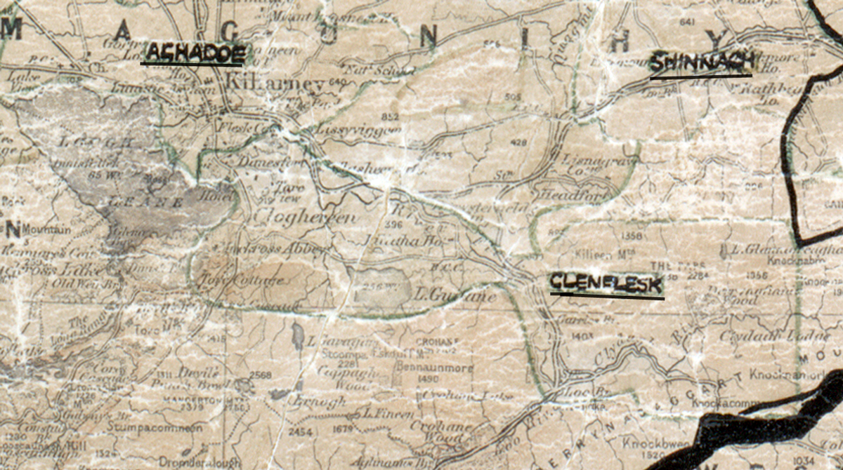
Area: Glenflesk
Started: April 1955
Finished: September 1955
Poles used: 750
Line used (km): 63
Premises connected: not recorded
The figures above were sourced from our REO News magazine, to learn more about what these figures mean, visit our interactive map. The map above shows the area boundary and is from a digitised version of the original map used during the scheme.
The REO News from February 1956 reports that a lot of rock was encountered in Glenflesk.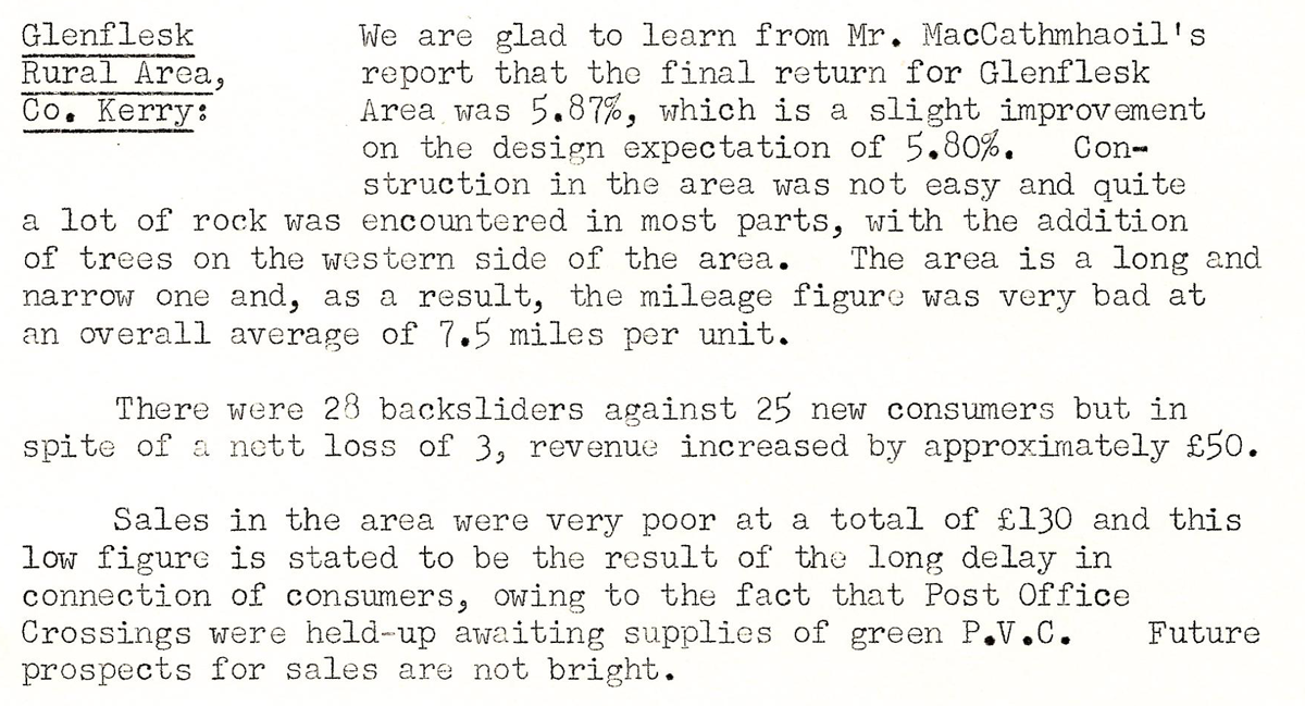 This digital scan from the REO News displays the following text:
"Glenflesk Rural Area, Co. Kerry: We are glad to learn from Mr. MacCathmhaoil’s report that the final return for Glenflesk Area was 5.87%, which is a slight improvement on the design expectation of 5.80%. Construction in the area was not easy and quite a lot of rock was encountered in most parts, with the addition of trees on the western side of the area. The area is a long and narrow one and, as a result, the mileage figure was very bad at an overall average of 7.5 miles per unit.
There were 28 backsliders against 25 new consumers but in spite of a nett loss of 3, revenue increased by approximately £50.
Sales in the area were very poor at a total of £130 and this low figure is stated to be the result of the long delay in connection of consumers, owing to the fact that Post Office Crossings were held‑up awaiting supplies of green P.V.C. Future prospects for sales are not bright."