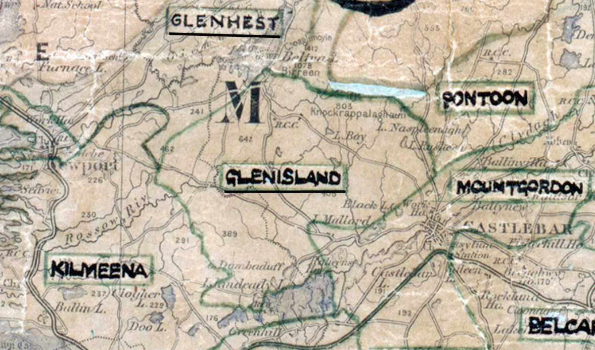
 Area: Glenisland
Started: June 1956
Finished: October 1956
Poles used: 399
Line used (km): 36
Premises connected: 77
The figures above were sourced from our REO News magazine, to learn more about what these figures mean, visit our interactive map. The map above shows the area boundary and is from a digitised version of the original map used during the scheme.
Bad weather caused some difficulties in Glenisland as reported in The REO News from October 1956.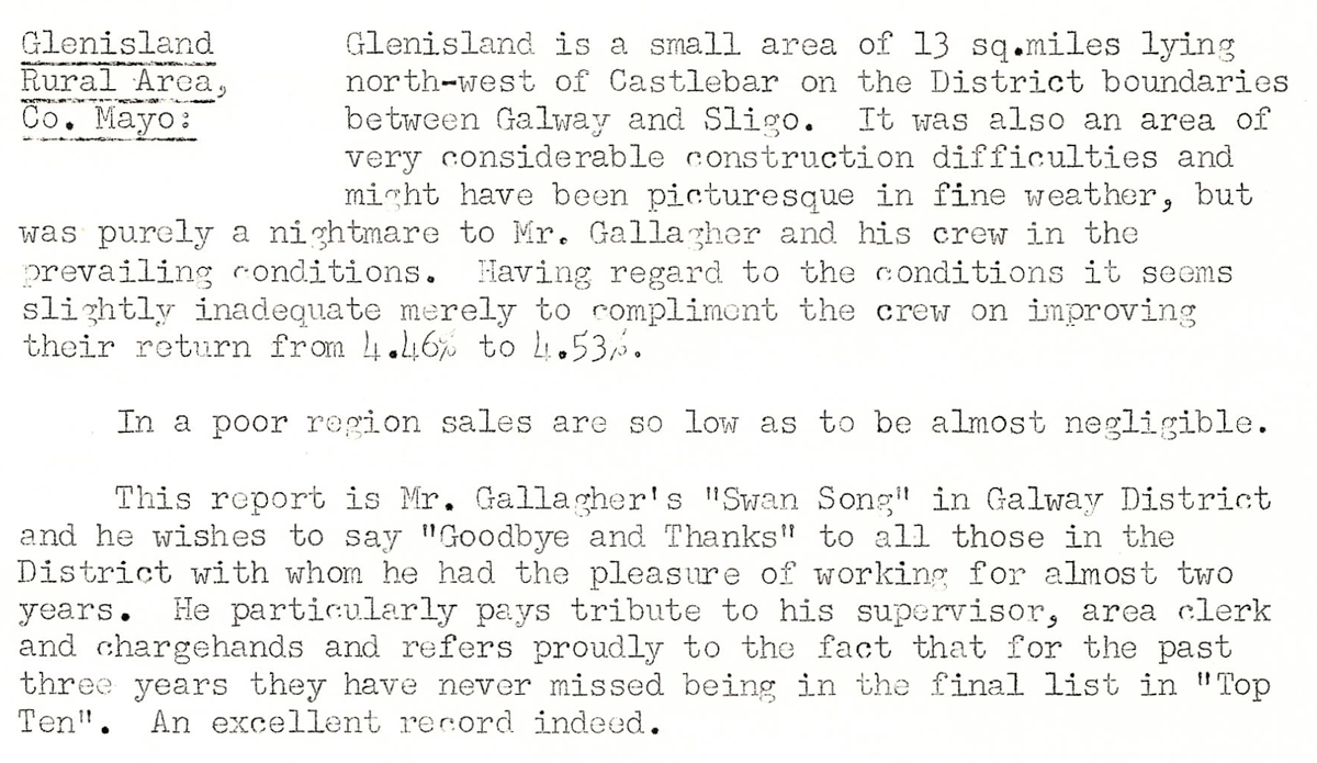 This digital scan from the REO News displays the following text:
"Glenisland Rural Area, Co. Mayo: Glenisland is a small area of 13 sq. miles lying north‑west of Castlebar on the District boundaries between Galway and Sligo. It was also an area of very considerable construction difficulties and might have been picturesque in fine weather, but was purely a nightmare to Mr. Gallagher and his crew in the prevailing conditions. Having regard to the conditions it seems slightly inadequate merely to compliment the crew on improving their return from 4.46% to 4.53%.
In a poor region sales are so low as to be almost negligible.
This report is Mr. Gallagher’s “Swan Song” in Galway District and he wishes to say “Goodbye and Thanks” to all those in the District with whom he had the pleasure of working for almost two years. He particularly pays tribute to his supervisor, area clerk and chargehands and refers proudly to the fact that for the past three years they have never missed being in the final list in “Top Ten”. An excellent record indeed."