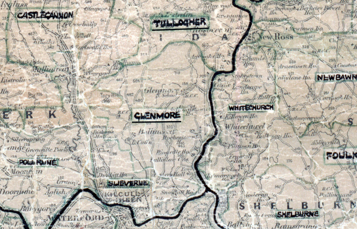
 Area: Glenmore
Started: December 1955
Finished: March 1956
Poles used: 566
Line used (km): 41
Premises connected: 21
The figures above were sourced from our REO News magazine, to learn more about what these figures mean, visit our rural map explanation page. The map above shows the area boundary and is from a digitised version of the original map used during the scheme.
The REO News from July 1956 reports that sales were moderate in Glenmore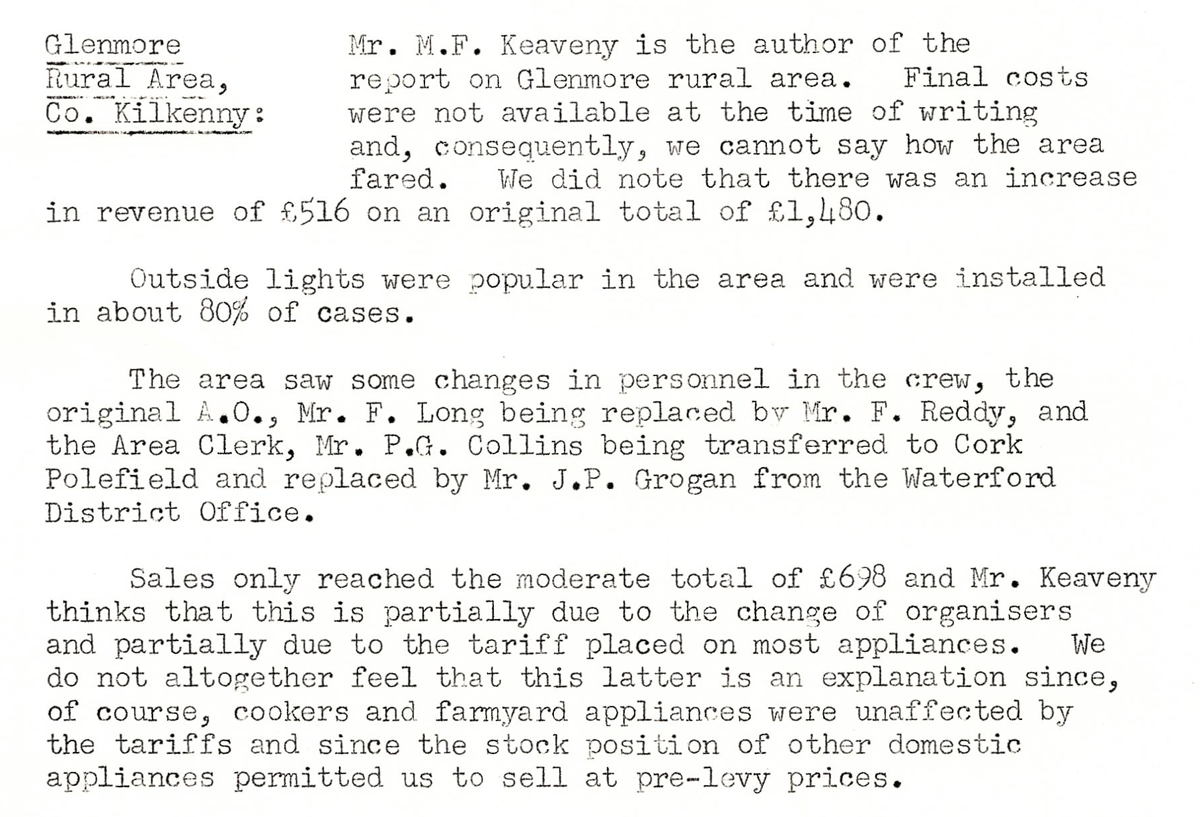 This digital scan from the REO News displays the following text:
"Glenmore Rural Area, Co. Kilkenny:
Mr. M. F. Keaveny is the author of the report on Glenmore rural area. Final costs were not available at the time of writing and, consequently, we cannot say how the area fared. We did note that there was an increase in revenue of £516 on an original total of £1,480.
Outside lights were popular in the area and were installed in about 80% of cases.
The area saw some changes in personnel in the crew, the original A.O., Mr. F. Long being replaced by Mr. F. Reddy, and the Area Clerk, Mr. P.G. Collins being transferred to Cork Polefield and replaced by Mr. J.P. Grogan from the Waterford District Office.
Sales only reached the moderate total of £698 and Mr. Keaveny thinks that this is partially due to the change of organisers and partially due to the tariff placed on most appliances. We do not altogether feel that this latter is an explanation since, of course, cookers and farmyard appliances were unaffected by the tariffs and since the stock position of other domestic appliances permitted us to sell at pre‑levy prices."