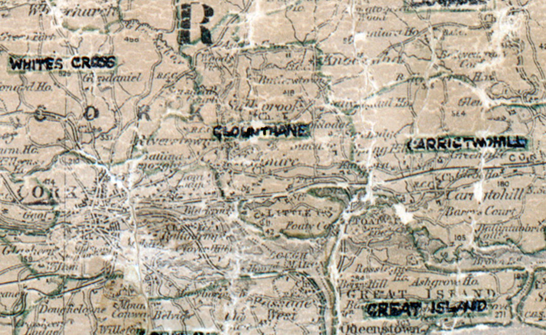
 Area: Glounthane
Started: December 1949
Finished: November 1950
Poles used: 202
Line used (km): 80
Premises connected: 144
The figures above were sourced from our REO News magazine, to learn more about what these figures mean, visit our interactive map. The map above shows the area boundary and is from a digitised version of the original map used during the scheme.
The amount of outside lights installed in farmhouses in Glounthane was pleasing according to The REO News from March 1951.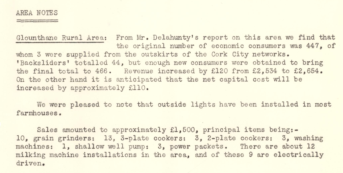 This digital scan from the REO News displays the following text:
"AREA NOTES
Glounthane Rural Area: From Mr. Delahunty’s report on this area we find that the original number of economic consumers was 447, of whom 3 were supplied from the outskirts of the Cork City networks. ‘Backsliders’ totalled 44, but enough new consumers were obtained to bring the final total to 466. Revenue increased by £120 from £2,534 to £2,654. On the other hand it is anticipated that the net capital cost will be increased by approximately £110.
We were pleased to note that outside lights have been installed in most farmhouses.
Sales amounted to approximately £1,500, principal items being:—
10, grain grinders: 13, 3‑plate cookers: 3, 2‑plate cookers: 3, washing machines: 1, shallow well pump: 3, power packets. There are about 12 milking machine installations in the area, and of these 9 are electrically driven."