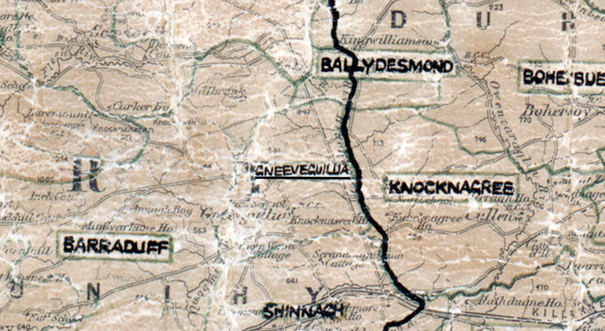
 Area: Gneeveguilla
Started: August 1953
Finished: April 1954
Poles used: 604
Line used (km): 50
Premises connected: 138
The figures above were sourced from our REO News magazine, to learn more about what these figures mean, visit our interactive map. The map above shows the area boundary and is from a digitised version of the original map used during the scheme.
The REO News from May 1954 reports that conditions were arctic in Gneeveguilla.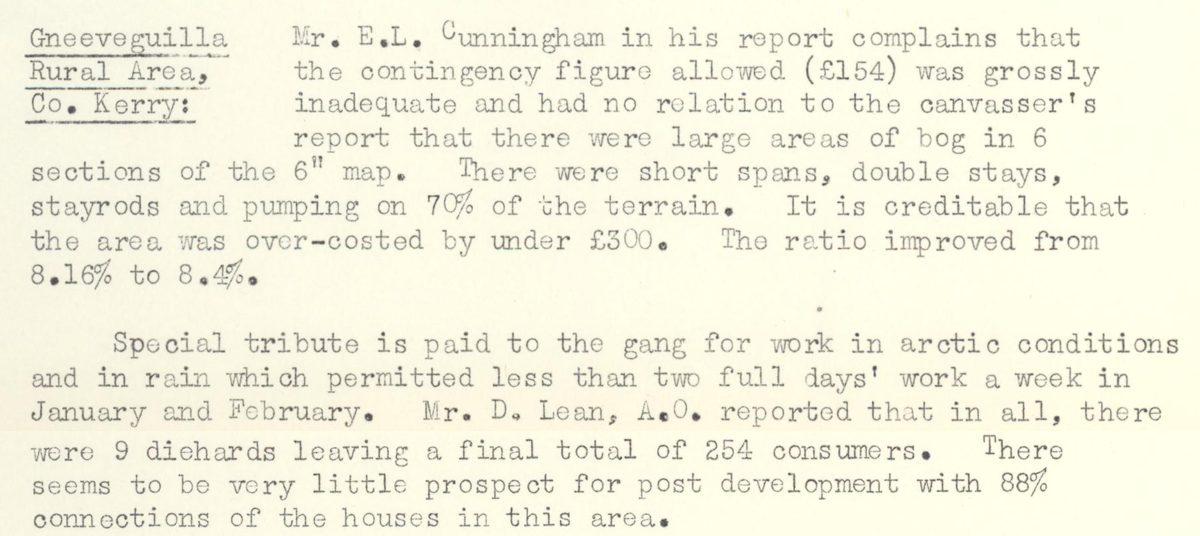 This digital scan from the REO News displays the following text:
"Gneeveguilla Rural Area, Co. Kerry: Mr. E.L. Cunningham in his report complains that the contingency figure allowed (£154) was grossly inadequate and had no relation to the canvasser’s report that there were large areas of bog in 6 sections of the 6" map. There were short spans, double stays, stayrods and pumping on 70% of the terrain. It is creditable that the area was over‑costed by under £300. The ratio improved from 8.16% to 8.4%.
Special tribute is paid to the gang for work in arctic conditions and in rain which permitted less than two full days’ work a week in January and February. Mr. D. Lean, A.O. reported that in all, there were 9 diehards leaving a final total of 254 consumers. There seems to be very little prospect for post development with 88% connections of the houses in this area."