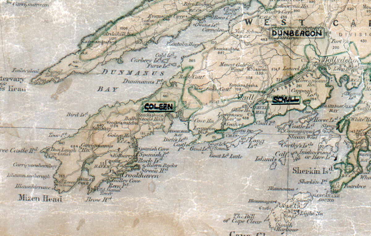
 Area: Goleen
Started: November 1959
Finished: May 1960
Poles used: 663
Line used (km): 53
Premises connected: 142
The figures above were sourced from our REO News magazine, to learn more about what these figures mean, visit our interactive map. The map above shows the area boundary and is from a digitised version of the original map used during the scheme.
The REO News from June/July 1960 gives some details from a Geological Survey Office report on Goleen. This digital scan from the REO News displays the following text:
"We learned from the Geological Survey Office that much of the surface rock in Goleen area is a highly silicified sandstone or quartzite which is very abrasive and therefore destructive to drill bits. The rock lies in large masses and much of the difficulty in blasting is due to the absence of cracks or weaknesses which would permit easy shattering of the mass."