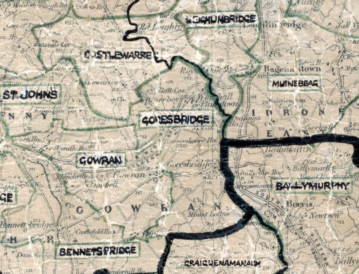
 Area: Goresbridge
Started: October 1949
Finished: June 1950
Poles used: 1248
Line used (km): 107
Premises connected: 102
The figures above were sourced from our REO News magazine, to learn more about what these figures mean, visit our interactive map. The map above shows the area boundary and is from a digitised version of the original map used during the scheme.
The people of Goresbridge are congratulated in The REO News from October 1949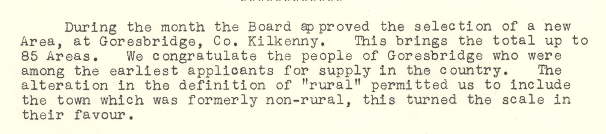 This digital scan from the REO News displays the following text:
"During the month the Board approved the selection of a new Area, at Goresbridge, Co. Kilkenny. This brings the total up to 85 Areas. We congratulate the people of Goresbridge who were among the earliest applicants for supply in the country. The alteration in the definition of “rural” permitted us to include the town which was formerly non‑rural, this turned the scale in their favour."