 Area: Gortahork
Started: September 1955
Finished: April 1956
Poles used: 914
Line used (km): 78
Premises connected: 353
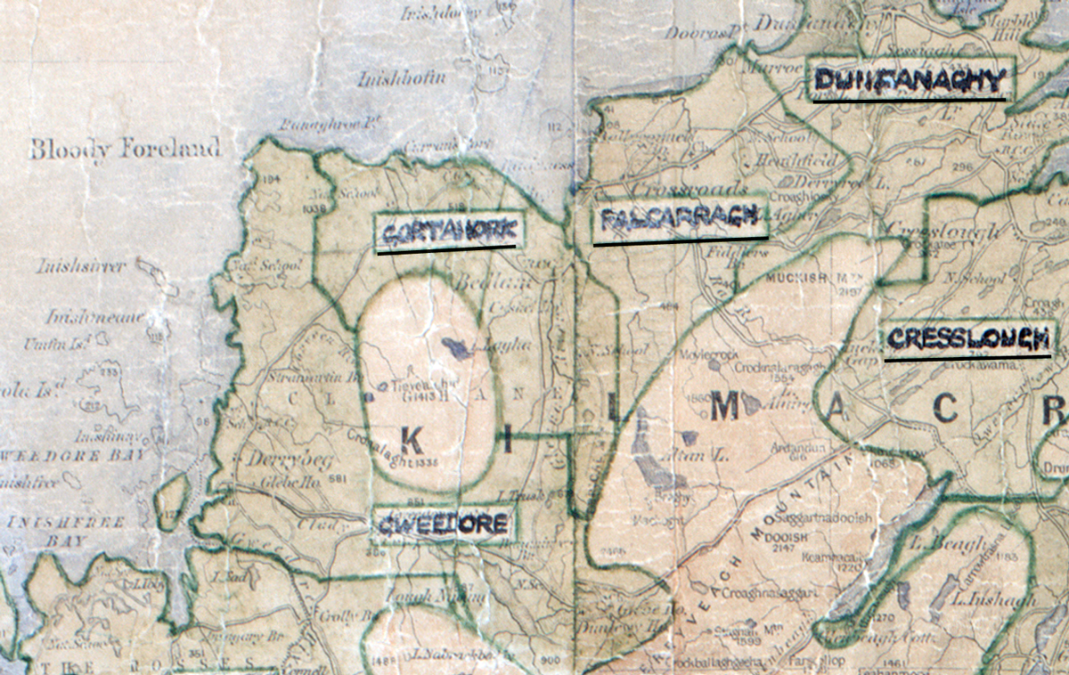
The figures above were sourced from our REO News magazine, to learn more about what these figures mean, visit our interactive map. The map above shows the area boundary and is from a digitised version of the original map used during the scheme.
Gortahork was not a prosperous area according to The REO News from May 1956.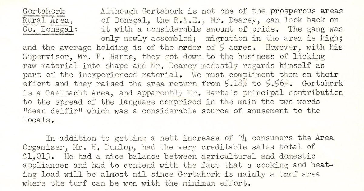 This digital scan from the REO News displays the following text:
"Gortahork Rural Area, Co. Donegal: Although Gortahork is not one of the prosperous areas of Donegal, the R.A.E., Mr. Dearey, can look back on it with a considerable amount of pride. The gang was only newly assembled; migration in the area is high; and the average holding is of the order of 5 acres. However, with his Supervisor, Mr. P. Harte, they got down to the business of licking raw material into shape and Mr. Dearey modestly regards himself as part of the inexperienced material. We must compliment them on their effort and they raised the area return from 5.13% to 5.56%. Gortahork is a Gaeltacht Area, and apparently Mr. Harte’s principal contribution to the spread of the language comprised in the main the two words “dean deifir” which was a considerable source of amusement to the locals.
In addition to getting a nett increase of 74 consumers the Area Organiser, Mr. H. Dunlop, had the very creditable sales total of £1,013. He had a nice balance between agricultural and domestic appliances and had to contend with the fact that a cooking and heating load will be almost nil since Gortahork is mainly a turf area where the turf can be won with the minimum effort."