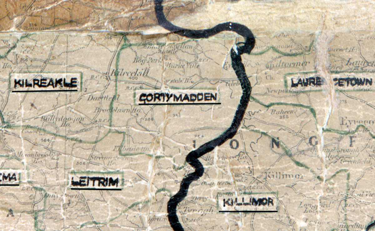
 Area: Gortymadden
Started: September 1954
Finished: September 1955
Poles used: 856
Line used (km): 78
Premises connected: 201
The figures above were sourced from our REO News magazine, to learn more about what these figures mean, visit our interactive map. The map above shows the area boundary and is from a digitised version of the original map used during the scheme.
There was a large amount of rock in Gortymadden according to The REO News from November 1955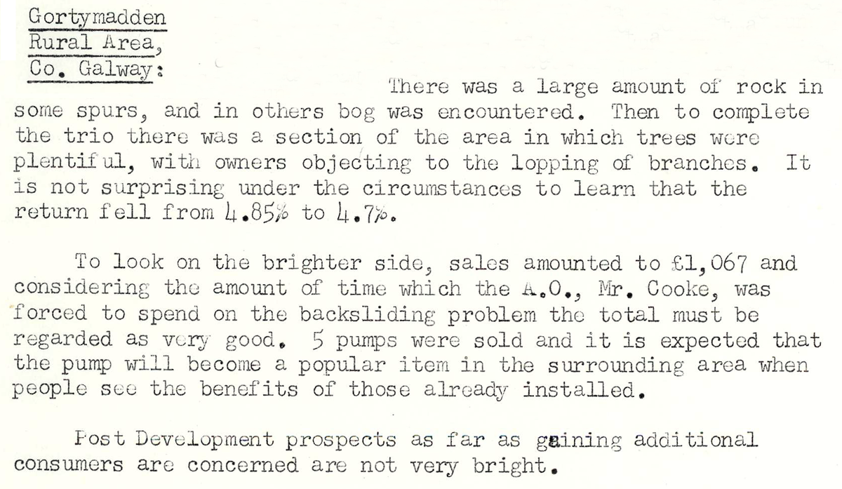 This digital scan from the REO News displays the following text:
"Gortymadden Rural Area, Co. Galway:
There was a large amount of rock in some spurs, and in others bog was encountered. Then to complete the trio there was a section of the area in which trees were plentiful, with owners objecting to the lopping of branches. It is not surprising under the circumstances to learn that the return fell from 4.85% to 4.7%.
To look on the brighter side, sales amounted to £1,067 and considering the amount of time which the A.O., Mr. Cooke, was forced to spend on the backsliding problem the total must be regarded as very good. 5 pumps were sold and it is expected that the pump will become a popular item in the surrounding area when people see the benefits of those already installed.
Post Development prospects as far as gaining additional consumers are concerned are not very bright."