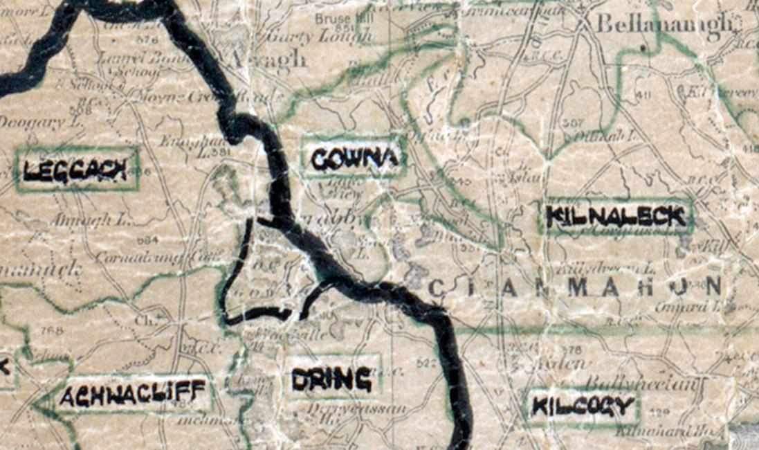
 Area: Gowna
Started: February 1948
Finished: April 1949
Poles used: 543
Line used (km): 45
Premises connected: 103
The figures above were sourced from our REO News magazine, to learn more about what these figures mean, visit our interactive map. The map above shows the area boundary and is from a digitised version of the original map used during the scheme.
People came from far and wide for this switch on ceremony as reported in The REO News from March 1949 This digital scan from the REO News displays the following text:
"During the month supply was switched on for the first time in Gowna Rural Area. Attending the ceremony was Mr. Dignam, Australian High Commissioner whose forbears came from Co. Cavan."