 The
figures above were sourced from our REO News magazine, to learn more about what these
figures mean, visit our interactive map.
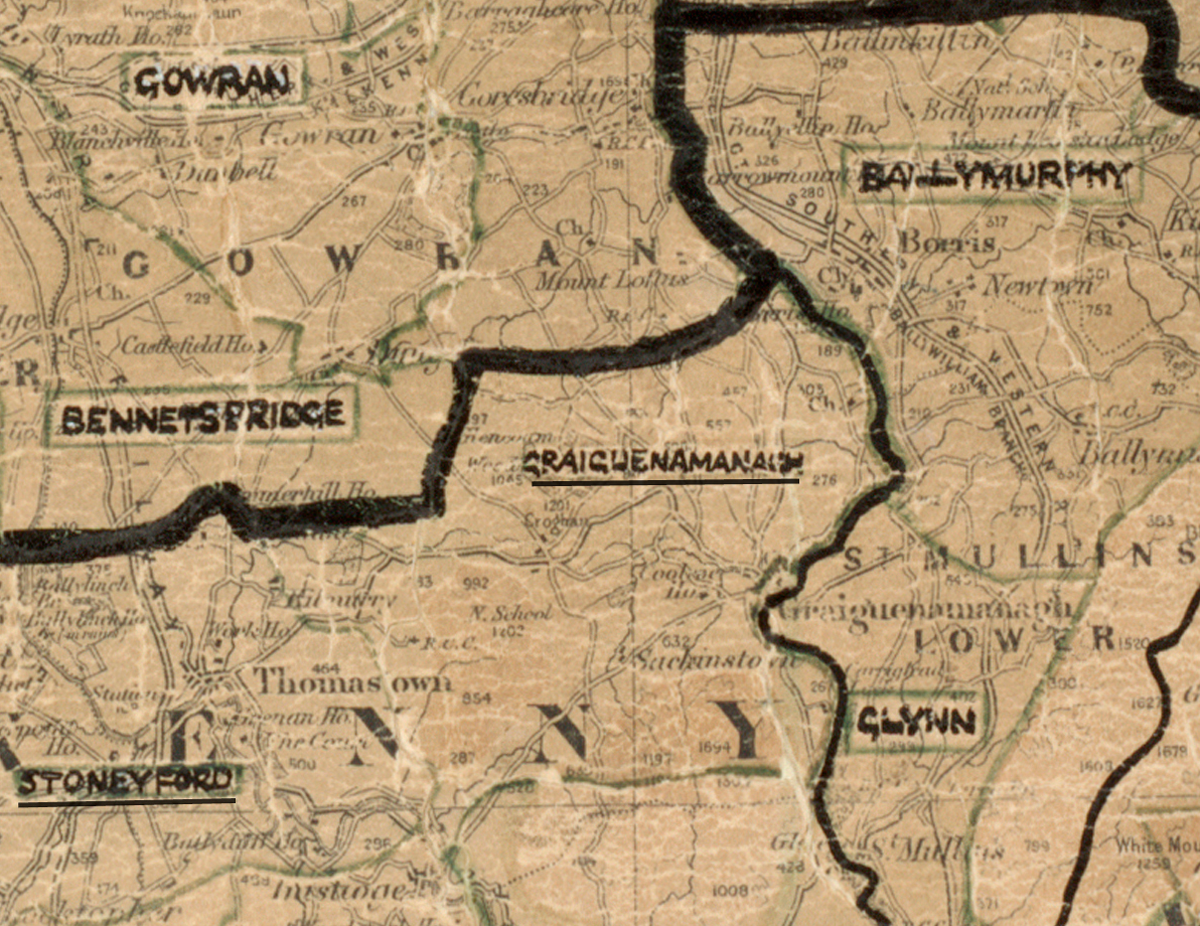
The map above shows the area boundary and is from a digitised
version of the original
map used during
the scheme.
Graiguenamanagh is a very picturesque area according to The REO News from July 1955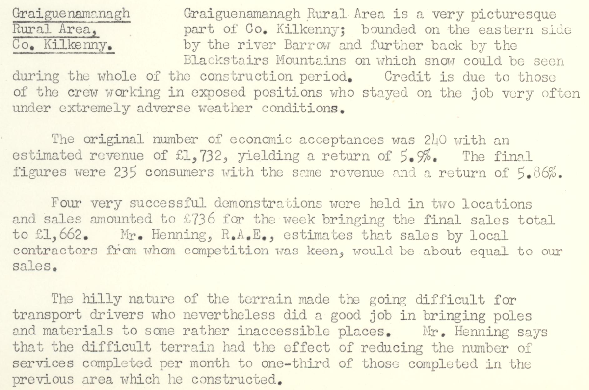 This digital scan from the REO News displays the following text:
"Graiguenamanagh Rural Area, Co. Kilkenny:
Graiguenamanagh Rural Area is a very picturesque part of Co. Kilkenny, bounded on the eastern side by the river Barrow and further back by the Blackstairs Mountains on which snow could be seen during the whole of the construction period. Credit is due to those of the crew working in exposed positions who stayed on the job very often under extremely adverse weather conditions.
The original number of economic acceptances was 240 with an estimated revenue of £1,732, yielding a return of 5.9%. The final figures were 235 consumers with the same revenue and a return of 5.86%.
Four very successful demonstrations were held in two locations and sales amounted to £736 for the week bringing the final sales total to £1,662. Mr. Hennings, R.A.E., estimates that sales by local contractors from whom competition was keen, would be about equal to our sales.
The hilly nature of the terrain made the going difficult for transport drivers who nevertheless did a good job in bringing poles and materials to some rather inaccessible places. Mr. Hennings says that the difficult terrain had the effect of reducing the number of services completed per month to one‑third of those completed in the previous area which he constructed."