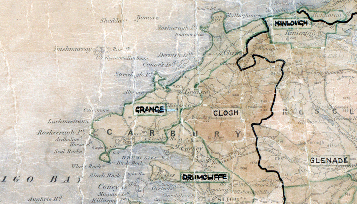
 Area: Grange
Started: November 1949
Finished: August 1950
Poles used: 1266
Line used (km): 110
Premises connected: 110
The figures above were sourced from our REO News magazine, to learn more about what these figures mean, visit our interactive map. The map above shows the area boundary and is from a digitised version of the original map used during the scheme.
Some locals in Grange had a burst of enthusiasm according to The REO News from September 1950.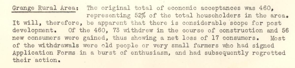 This digital scan from the REO News displays the following text:
"Grange Rural Area: The original total of economic acceptances was 460, representing 52% of the total householders in the area. It will, therefore, be apparent that there is considerable scope for post development. Of the 460, 73 withdrew in the course of construction and 56 new consumers were gained, thus showing a net loss of 17 consumers. Most of the withdrawals were old people or very small farmers who had signed Application Forms in a burst of enthusiasm, and had subsequently regretted their action."