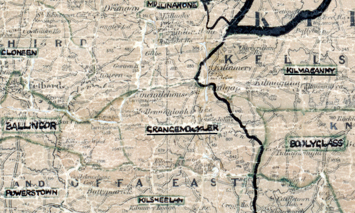
 Area: Grangemockler
Started: September 1954
Finished: April 1955
Poles used: 967
Line used (km): 92
Premises connected: 157
The figures above were sourced from our REO News magazine, to learn more about what these figures mean, visit our rural map explanation page. The map above shows the area boundary and is from a digitised version of the original map used during the scheme.
The REO News from June 1955 reports that Grangemockler is historic territory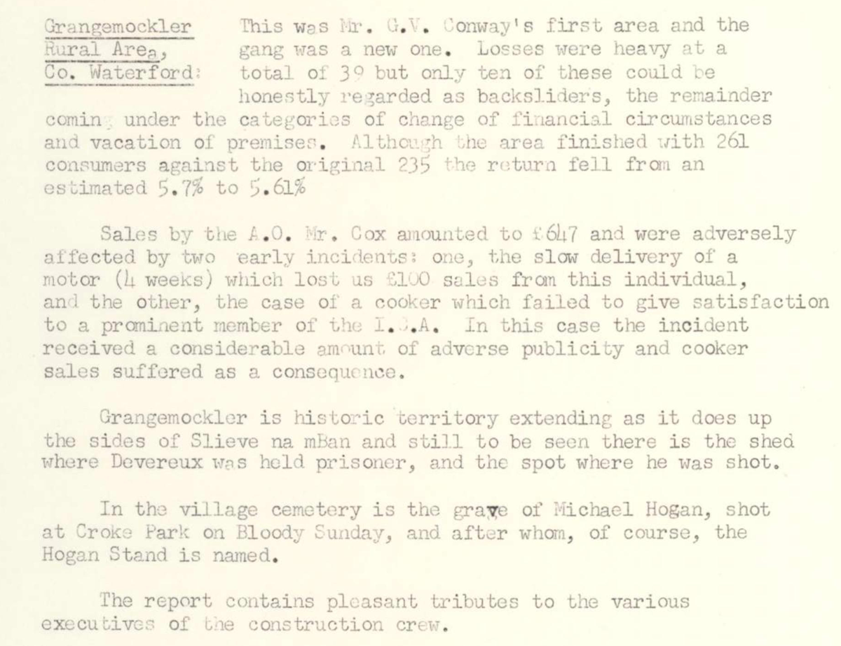 This digital scan from the REO News displays the following text:
"Grangemockler Rural Area, Co. Waterford:
This was Mr. G. V. Conway’s first area and the gang was a new one. Losses were heavy at a total of 30 but only ten of these could be honestly regarded as backsliders, the remainder coming under the categories of change of financial circumstances and vacation of premises. Although the area finished with 261 consumers against the original 235 the return fell from an estimated 5.7% to 5.61%.
Sales by the A.O., Mr. Cox amounted to £647 and were adversely affected by two early incidents: one, the slow delivery of a motor (4 weeks) which lost £100 sales from this individual, and the other, the case of a cooker which failed to give satisfaction to a prominent member of the I.A.A. In this case the incident received a considerable amount of adverse publicity and cooker sales suffered as a consequence.
Grangemockler is historic territory extending as it does up the sides of Slieve na mBan and still to be seen there is the shed where Devereux was held prisoner, and the spot where he was shot.
In the village cemetery is the grave of Michael Hogan, shot at Croke Park on Bloody Sunday, and after whom, of course, the Hogan Stand is named.
The report contains pleasant tributes to the various executives of the construction crew."