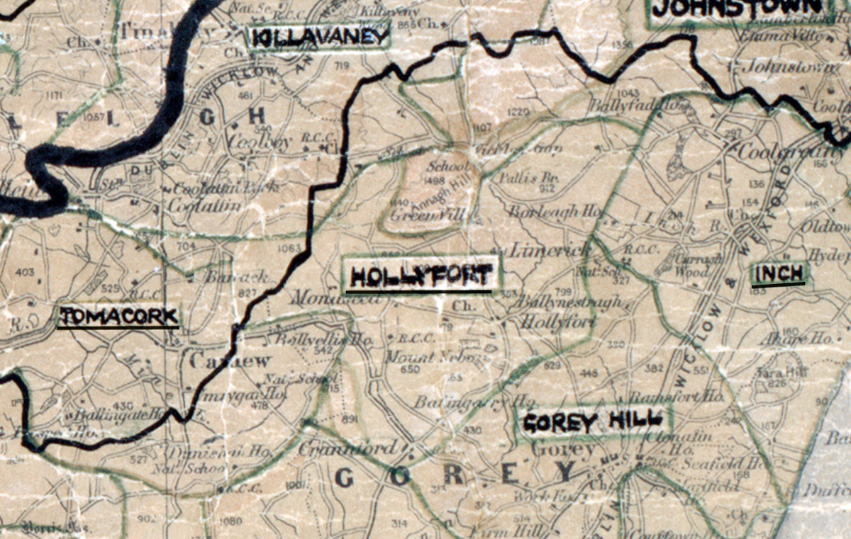
 Area: Hollyfort
Started: July 1956
Finished: November 1956
Poles used: 1094
Line used (km): 93
Premises connected: 210
Sales in Hollyfort were good according to The REO News from January 1957.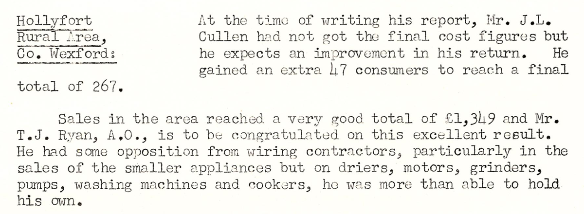 This digital scan from the REO News displays the following text:
“Hollyfort Rural Area, Co. Wexford: At the time of writing his report, Mr. J. L. Cullen had not got the final cost figures but he expects an improvement in his return. He gained an extra 47 consumers to reach a final total of 267.
Sales in the area reached a very good total of £1,349 and Mr. T. J. Ryan, A.O., is to be congratulated on this excellent result. He had some opposition from wiring contractors, particularly in the sales of the smaller appliances but on driers, motors, grinders, pumps, washing machines and cookers, he was more than able to hold his own.”