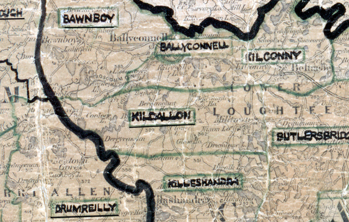
 Area: Kildallon
Started: December 1958
Finished: June 1959
Poles used: 1279
Line used (km): 102
Premises connected: 66
The figures above were sourced from our REO News magazine, to learn more about what these figures mean, visit our interactive map. The map above shows the area boundary and is from a digitised version of the original map used during the scheme.
The REO News from February 1959 tells us about a sales promotion in Kildallon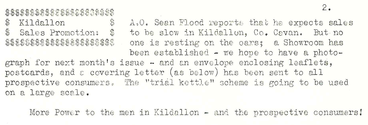 This digital scan from the REO News displays the following text:
"Kildallon Sales Promotion: A.O. Sean Flood reports that he expects sales to be slow in Kildallon, Co. Cavan. But no one is resting on the oars; a Showroom has been established – we hope to have a photograph for next month's issue – and an envelope enclosing leaflets, postcards, and a covering letter (as below) has been sent to all prospective consumers. The “trial kettle” scheme is going to be used on a large scale.
More Power to the men in Kildallon – and the prospective consumers!"