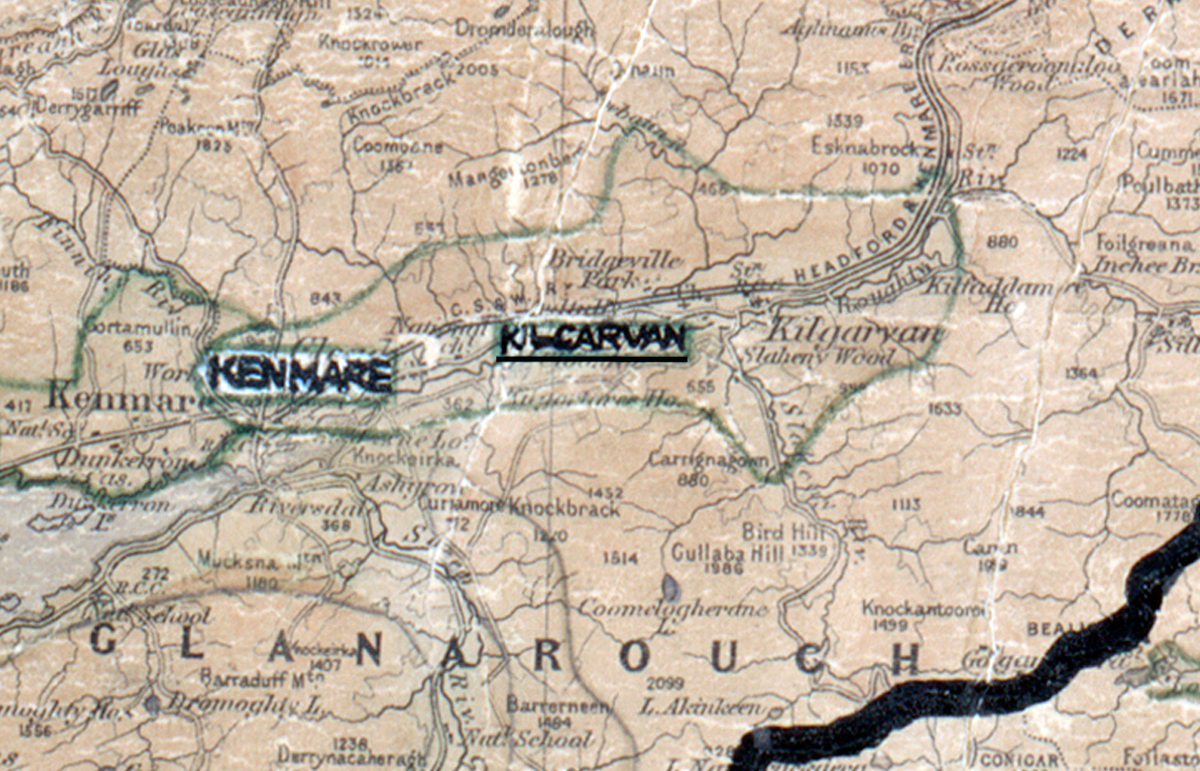
 Area: Kilgarvan
Started: August 1953
Finished: June 1954
Poles used: 526
Line used (km): 42
Premises connected: 111
The figures above were sourced from our REO News magazine, to learn more about what these figures mean, visit our interactive map. The map above shows the area boundary and is from a digitised version of the original map used during the scheme.
The roads in Kilgarvan left a lot to be desired according to The REO News from August 1954.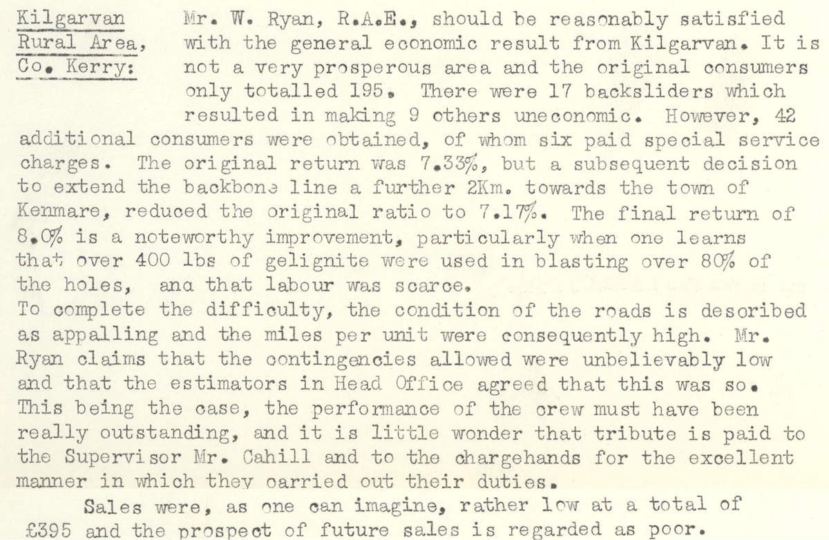 This digital scan from the REO News displays the following text:
"Kilgarvan Rural Area, Co. Kerry: Mr. W. Ryan, R.A.E., should be reasonably satisfied with the general economic result from Kilgarvan. It is not a very prosperous area and the original consumers only totalled 195. There were 17 backsliders which resulted in making 9 others uneconomic. However, 42 additional consumers were obtained, of whom six paid special service charges. The original return was 7.33%, but a subsequent decision to extend the backbone line a further 2Km. towards the town of Kenmare, reduced the original ratio to 7.17%. The final return of 8.0% is a noteworthy improvement, particularly when one learns that over 400 lbs. of gelignite were used in blasting over 80% of the holes, and that labour was scarce.
To complete the difficulty, the condition of the roads is described as appalling and the miles per unit were consequently high. Mr. Ryan claims that the contingencies allowed were unbelievably low and that the estimators in Head Office agreed that this was so. This being the case, the performance of the crew must have been really outstanding, and it is little wonder that tribute is paid to the Supervisor Mr. Cahill and the chargehands for the excellent manner in which they carried out their duties.
Sales were, as one can imagine, rather low at a total of £395 and the prospect of future sales is regarded as poor."