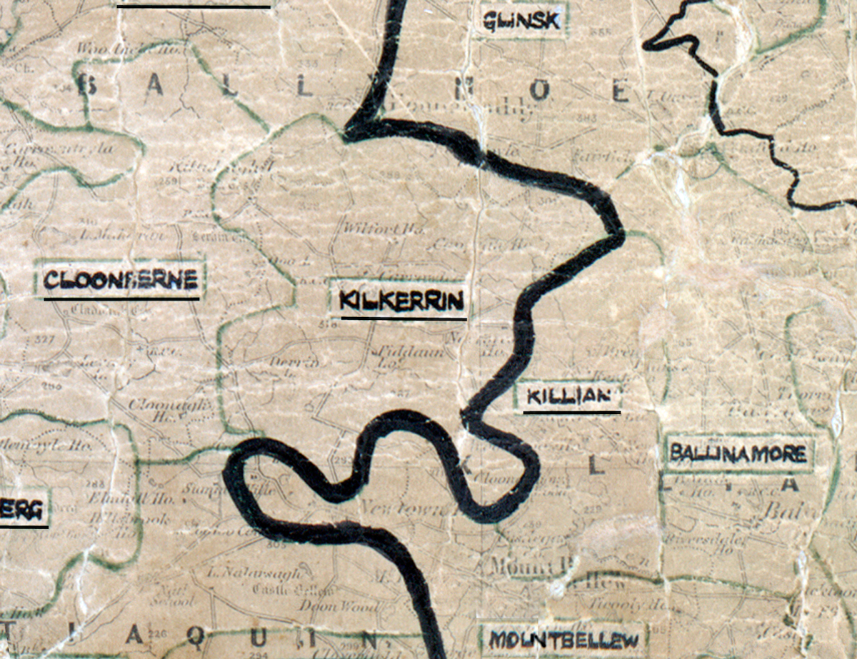
 Area: Kilkerrin
Started: September 1954
Finished: July 1955
Poles used: 1194
Line used (km): 114
Premises connected: 350
The figures above were sourced from our REO News magazine, to learn more about what these figures mean, visit our interactive map. The map above shows the area boundary and is from a digitised version of the original map used during the scheme.
Kilkerrin was found to be rather moist according to The REO News from September 1955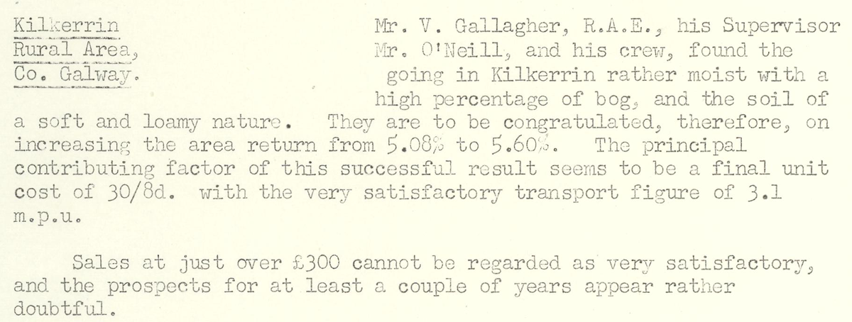 This digital scan from the REO News displays the following text:
"Kilkerrin Rural Area, Co. Galway.
Mr. V. Gallagher, R.A.E., his Supervisor Mr. O’Neill, and his crew, found the going in Kilkerrin rather moist with a high percentage of bog, and the soil of a soft and loamy nature. They are to be congratulated, therefore, on increasing the area return from 5.08% to 5.60%. The principal contributing factor of this successful result seems to be a final unit cost of 30/8d. with the very satisfactory transport figure of 3.1 m.p.u.
Sales at just over £300 cannot be regarded as very satisfactory, and the prospects for at least a couple of years appear rather doubtful."