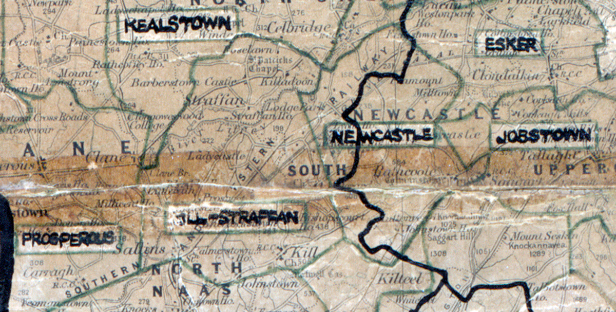
 Area: Kill
Started: December 1947
Finished: September 1948
Poles used: 1235
Line used (km): 89
Premises connected: 200
The figures above were sourced from our REO News magazine, to learn more about what these figures mean, visit our interactive map. The map above shows the area boundary and is from a digitised version of the original map used during the scheme.
Our appliance salesman in Kill took advantage of an opportunity to champion our goods as reported in The REO News from April 1958.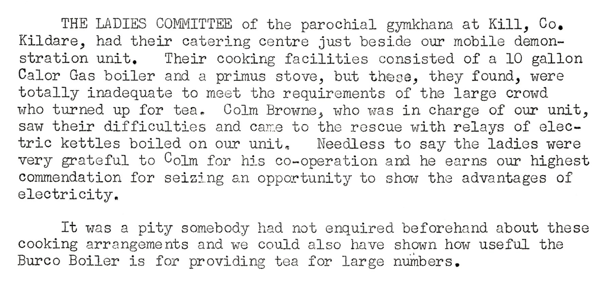 This digital scan from the REO News displays the following text:
"THE LADIES COMMITTEE of the parochial gymkhana at Kill, Co. Kildare, had their catering centre just beside our mobile demonstration unit. Their cooking facilities consisted of a 10 gallon Calor Gas boiler and a primus stove, but these, they found, were totally inadequate to meet the requirements of the large crowd who turned up for tea. Colm Browne, who was in charge of our unit, saw their difficulties and came to the rescue with relays of electric kettles boiled on our unit. Needless to say the ladies were very grateful to Colm for his co‑operation and he earns our highest commendation for seizing an opportunity to show the advantages of electricity.
It was a pity somebody had not enquired beforehand about these cooking arrangements and we could also have shown how useful the Burco Boiler is for providing tea for large numbers."