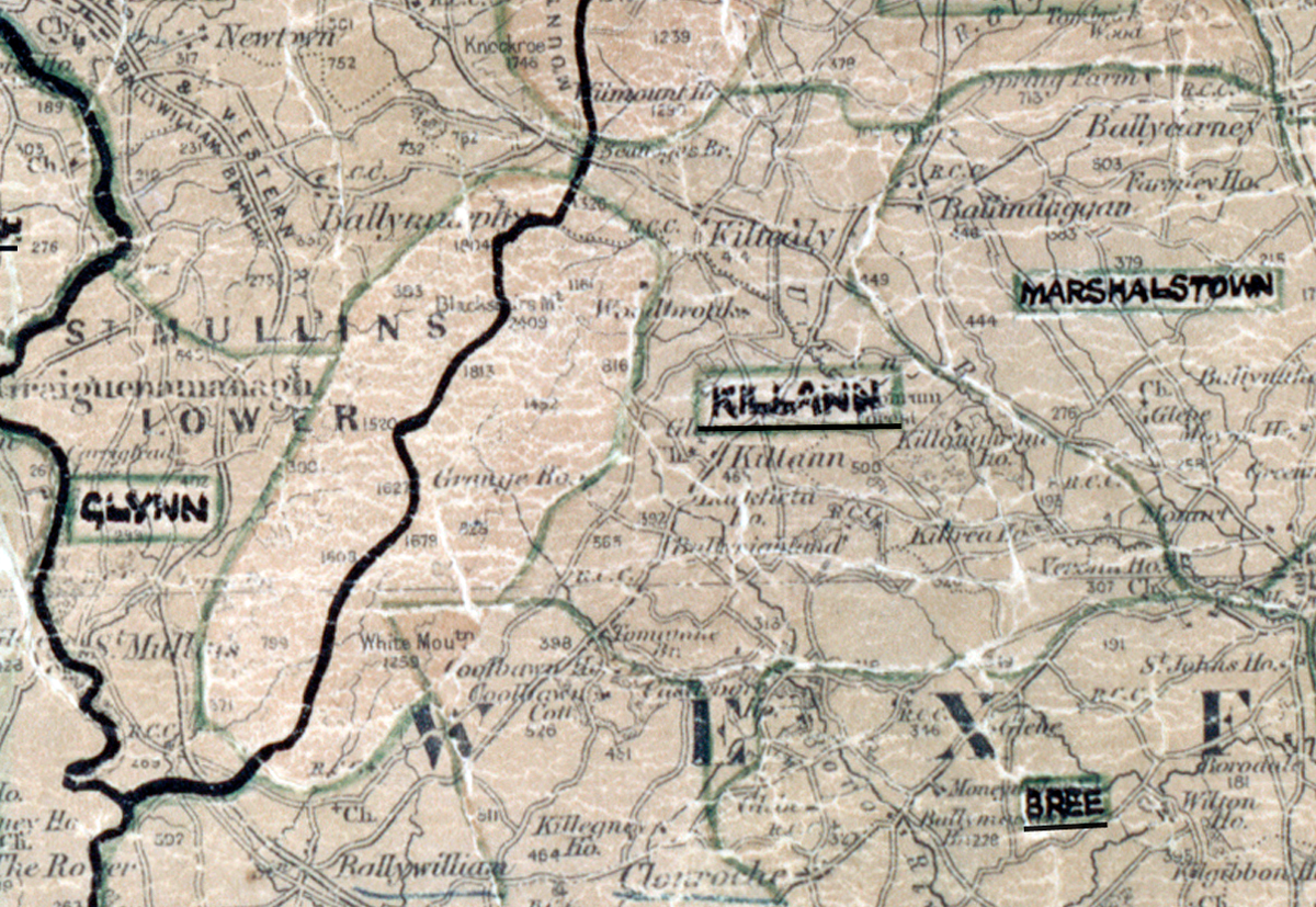
 Area: Killann
Started: April 1957
Finished: November 1957
Poles used: 1530
Line used (km): 135
Premises connected: 309
The figures above were sourced from our REO News magazine, to learn more about what these figures mean, visit our interactive map. The map above shows the area boundary and is from a digitised version of the original map used during the scheme.
The REO News from January 1958 reports that Killann abounded with raths. This digital scan from the REO News displays the following text:
“HISTORY of the past and history in the making are combined in the Killann Rural Area. The house owned by the famous 'Boy' — John Kelly, — is now occupied by a family whose name also is mentioned with pride and almost with reverence by Wexford G.A.A. followers — the Rackards.
In his post‑construction report on the area, Mr. M. Keaveny mentioned that the area abounded in raths and in one particular spot — Rathnure — there are no less than 13 of these obstacles in and around the village. He is barely forgiven for his pun in saying that the construction crew avoided the (w)rath of the fairies!”