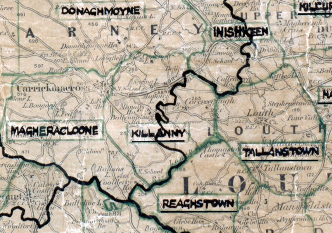
 Area: Killanny
Started: April 1955
Finished: February 1956
Poles used: 1355
Line used (km): 111
Premises connected: 410
The figures above were sourced from our REO News magazine, to learn more about what these figures mean, visit our interactive map. The map above shows the area boundary and is from a digitised version of the original map used during the scheme.
Sales in Killanny were very good as reported in The REO News from March 1956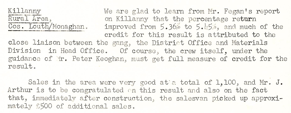 This digital scan from the REO News displays the following text:
"Killanny Rural Area, Cos. Louth/Monaghan.
We are glad to learn from Mr. Fegan’s report on Killanny that the percentage return improved from 5.36% to 5.45%, and much of the credit for this result is attributed to the close liaison between the gang, the District Office and Materials Division in Head Office. Of course, the crew itself, under the guidance of Mr. Peter Keoghan, must get full measure of credit for the result.
Sales in the area were very good at a total of £1,100, and Mr. J. Arthur is to be congratulated on this result and also on the fact that, immediately after construction, the salesvan picked up approximately £500 of additional sales."