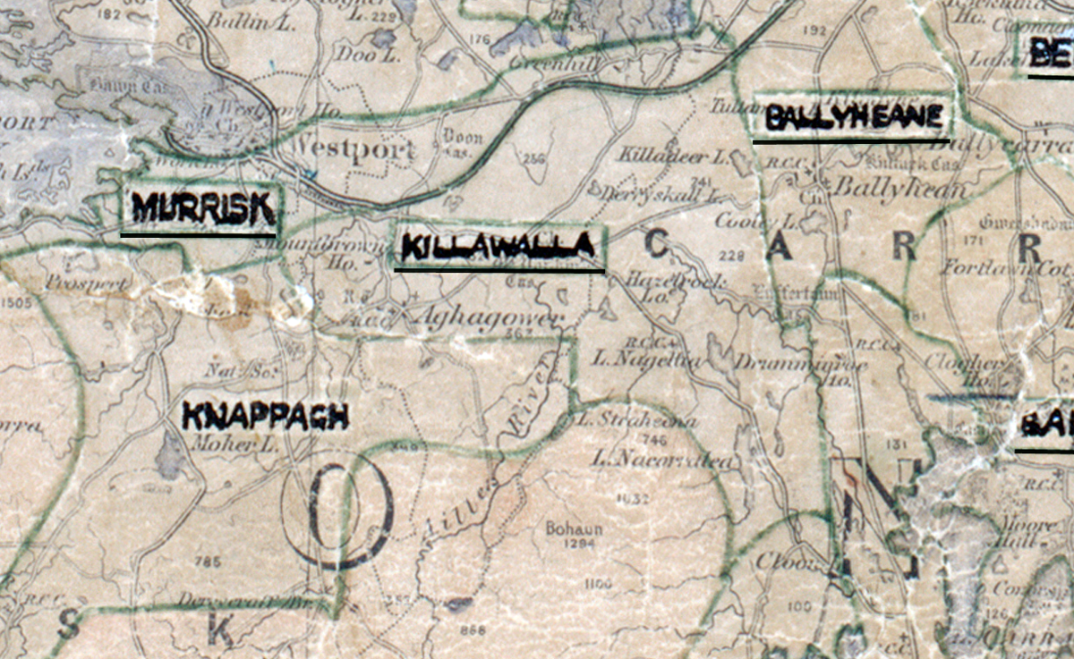
 Area: Killawalla
Started: December 1953
Finished: March 1955
Poles used: 1060
Line used (km): 96
Premises connected: 332
The figures above were sourced from our REO News magazine, to learn more about what these figures mean, visit our interactive map. The map above shows the area boundary and is from a digitised version of the original map used during the scheme.
Killawalla was not a very prosperous region according to The REO News from May 1955
 This digital scan from the REO News displays the following text:
"Killawalla Rural Area, Co. Mayo:
The report on Killawalla is supplied by Mr. V. Gallagher, R.A.E., whose first area this was. It is not a very prosperous region and despite all difficulties 78% of the total houses in the area are supplied, the balance of refusals representing only 18 householders and 7 backsliders. The original area was extended in some places to take in a total of 64 consumers who had been uneconomic in adjoining areas and who were willing to accept special service charges now that they saw their prospects of supply getting dimmer and dimmer.
60 out of the 84 extra consumers are paying special service charges or are barely within the 24:1 limit. In addition a proposed limestone plant with an expected revenue of £124 did not materialise due to lack of capital and as a nett result the return for the area fell from 5.28% to 4.67%.
Sales by both the Board and by the wiring contractors were very low, the Board’s sales amounting to £123.10.0d. and the future for sales is not very hopeful."