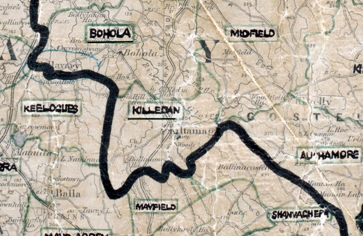
Area: Killedan
Started: August 1954
Finished: May 1955
Poles used: 1049
Line used (km): 91
Premises connected: 180
The figures above were sourced from our REO News magazine, to learn more about what these figures mean, visit our interactive map. The map above shows the area boundary and is from a digitised version of the original map used during the scheme.
The REO News from June 1955 reports that Killedan had more than its fair share of snow blizzards
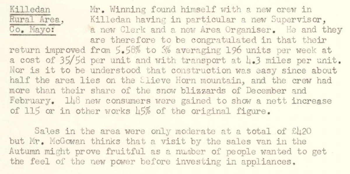 This digital scan from the REO News displays the following text:
"Killedan Rural Area, Co. Mayo:
Mr. Winning found himself with a new crew in Killedan having in particular a new Supervisor, a new Clerk and a new Area Organiser. He and they are therefore to be congratulated in that their return improved from 5.58% to 5% averaging 196 units per week at a cost of 35/5d per unit and with transport at 4.3 miles per unit. Nor is it to be understood that construction was easy since about half the area lies on the Slieve Horn mountain, and the crew had more than their share of the snow blizzards of December and February. 148 new consumers were gained, to show a nett increase of 115 or in other words 45% of the original figure.
Sales in the area were only moderate at a total of £420 but Mr. McGowan thinks that a visit by the sales van in the Autumn might prove fruitful as a number of people wanted to get the feel of the new power before investing in appliances."