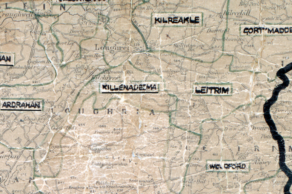
 Area: Killeenadeema
Started: July 1956
Finished: January 1957
Poles used: 634
Line used (km): 54
Premises connected: 122
The figures above were sourced from our REO News magazine, to learn more about what these figures mean, visit our interactive map. The map above shows the area boundary and is from a digitised version of the original map used during the scheme.
The REO News from April 1957 reports that transportation costs were an issue in Killeenadeema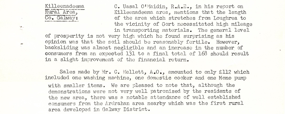
This digital scan from the REO News displays the following text:
"Killenadeema Rural Area, Co. Galway
C. Uasal O’Maidin, R.A.E., in his report on Killenadeema area, mentions that the length of the area which stretches from Loughrea to the vicinity of Gort necessitated high mileage in transporting materials. The general level of prosperity is not very high which he found surprising as his opinion was that the soil should be reasonably fertile. However, backsliding was almost negligible and an increase in the number of consumers from an expected 131 to a final total of 168 should result in a slight improvement of the financial return.
Sales made by Mr. C. Mellett, A.O., amounted to only £112 which included one washing machine, one domestic cooker and one Mono pump with smaller items. We are pleased to note that, although the demonstrations were not very well patronised by the residents of the new area, there was a notable attendance of well established consumers from the Ardrahan area nearby which was the first rural area developed in Galway District."