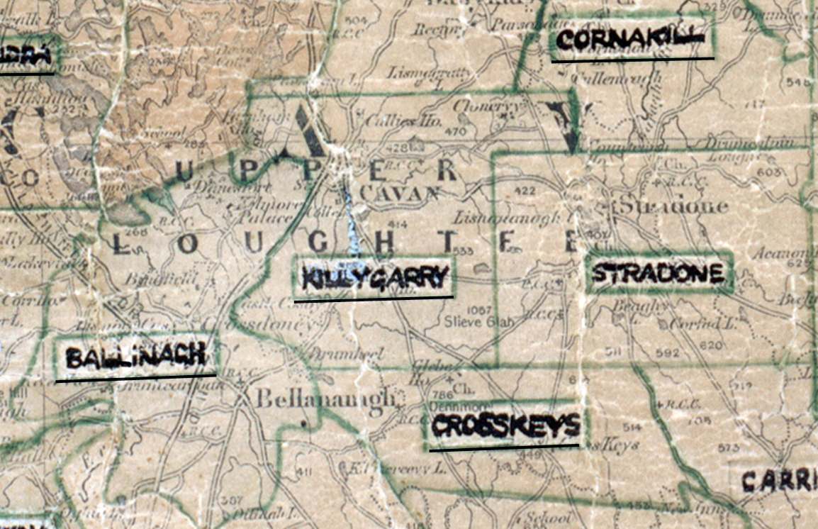
 Area: Killygarry
Started: June 1956
Finished: October 1956
Poles used: 1190
Line used (km): 92
Premises connected: 170
The figures above were sourced from our REO News magazine, to learn more about what these figures mean, visit our interactive map. The map above shows the area boundary and is from a digitised version of the original map used during the scheme.
The REO News from November 1956 tells us of a challenge that was met and defeated in Killygarry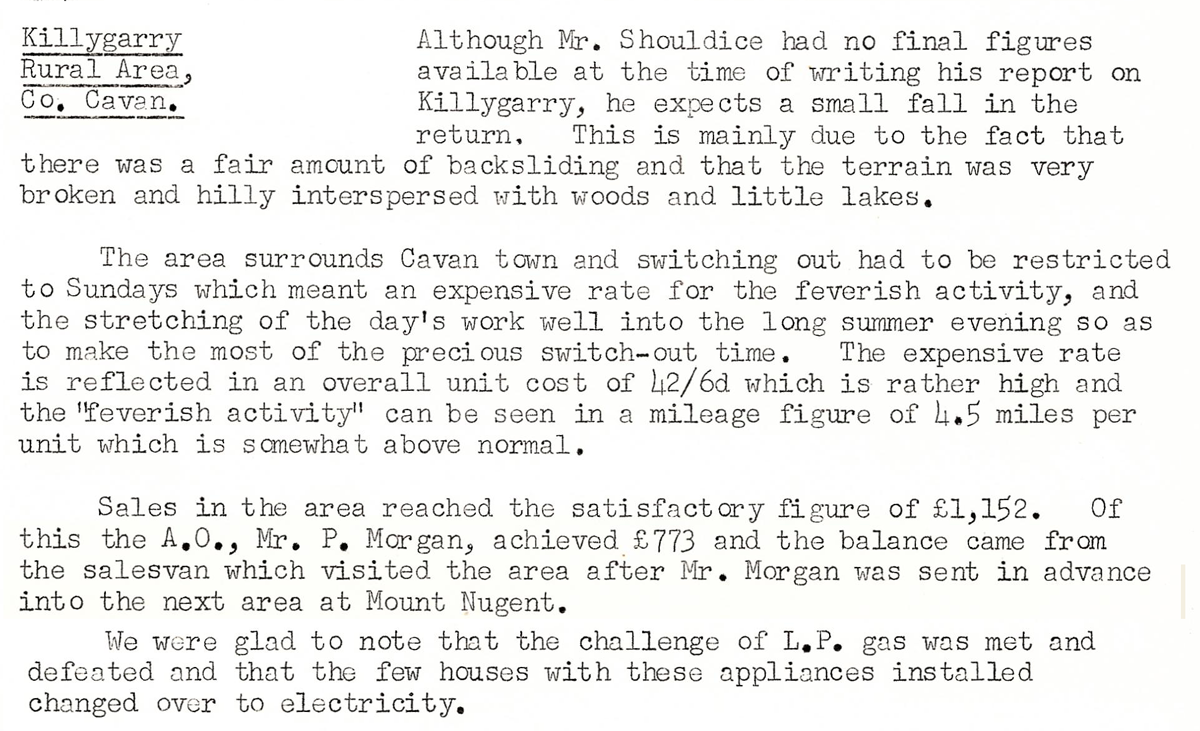 This digital scan from the REO News displays the following text:
"Killygarry Rural Area, Co. Cavan.
Although Mr. Shouldice had no final figures available at the time of writing his report on Killygarry, he expects a small fall in the return. This is mainly due to the fact that there was a fair amount of backsliding and that the terrain was very broken and hilly interspersed with woods and little lakes.
The area surrounds Cavan town and switching out had to be restricted to Sundays which meant an expensive rate for the feverish activity, and the stretching of the day’s work well into the long summer evening so as to make the most of the precious switch‑out time. The expensive rate is reflected in an overall unit cost of 1½/6d which is rather high and the “feverish activity” can be seen in a mileage figure of 4.5 miles per unit which is somewhat above normal.
Sales in the area reached the satisfactory figure of £1,152. Of this, the A.O., Mr. P. Morgan, achieved £773 and the balance came from the salesvan which visited the area after Mr. Morgan was sent in advance into the next area at Mount Nugent.
We were glad to note that the challenge of L.P. gas was met and defeated and that the few houses with these appliances installed changed over to electricity."