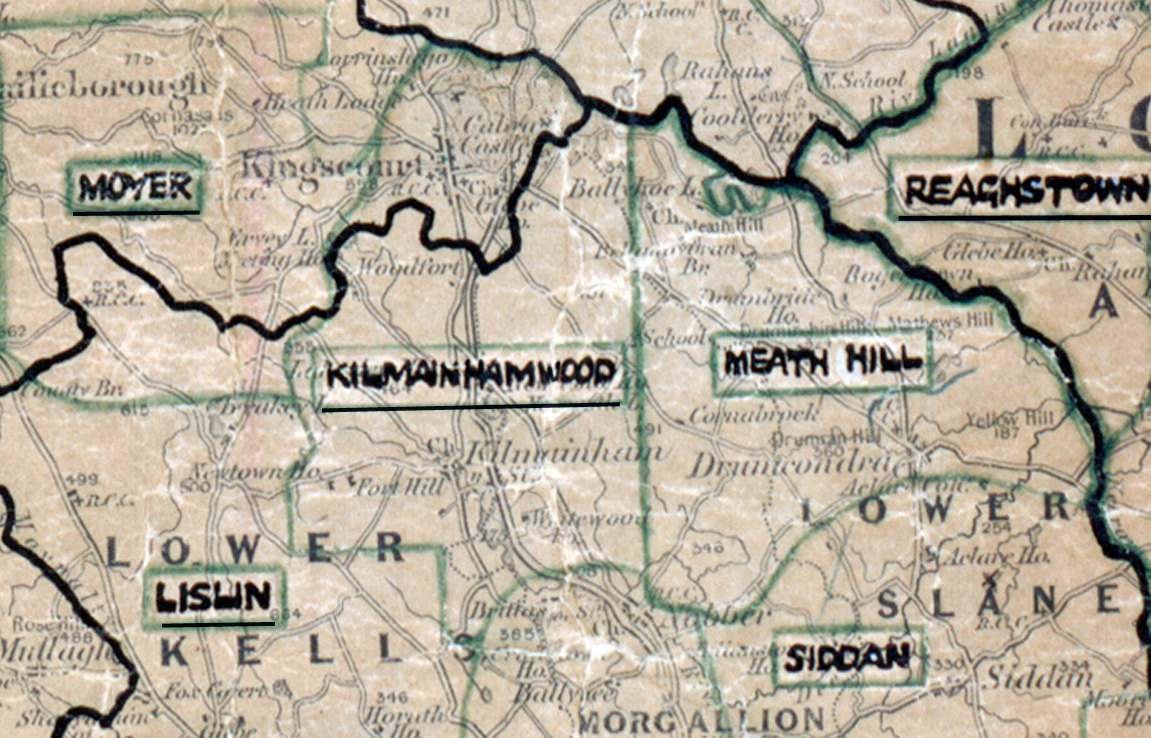
 Area: Kilmainhamwood
Started: December 1953
Finished: August 1954
Poles used: 711
Line used (km): 65
Premises connected: 118
The figures above were sourced from our REO News magazine, to learn more about what these figures mean, visit our interactive map. The map above shows the area boundary and is from a digitised version of the original map used during the scheme.
The REO News from September 1954 contained a report on Kilmainhamwood.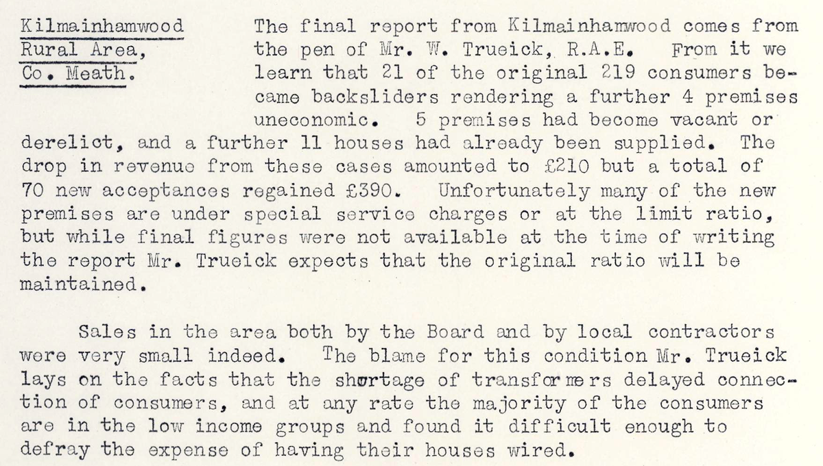 This digital scan from the REO News displays the following text:
"Kilmainhamwood Rural Area, Co. Meath: The final report from Kilmainhamwood comes from the pen of Mr. W. Trueick, R.A.E. From it we learn that 21 of the original 219 consumers became backsliders rendering a further 4 premises uneconomic. 5 premises had become vacant or derelict, and a further 11 houses had already been supplied. The drop in revenue from these causes amounted to £210 but a total of 70 new acceptances regained £390. Unfortunately many of the new premises are under special service charges or at the limit ratio, but while final figures were not available at the time of writing the report Mr. Trueick expects that the original ratio will be maintained.
Sales in the area both by the Board and by local contractors were very small indeed. The blame for this condition Mr. Trueick lays on the facts that the shortage of transformers delayed connection of consumers, and at any rate the majority of the consumers are in the low income groups and found it difficult enough to defray the expense of having their houses wired."