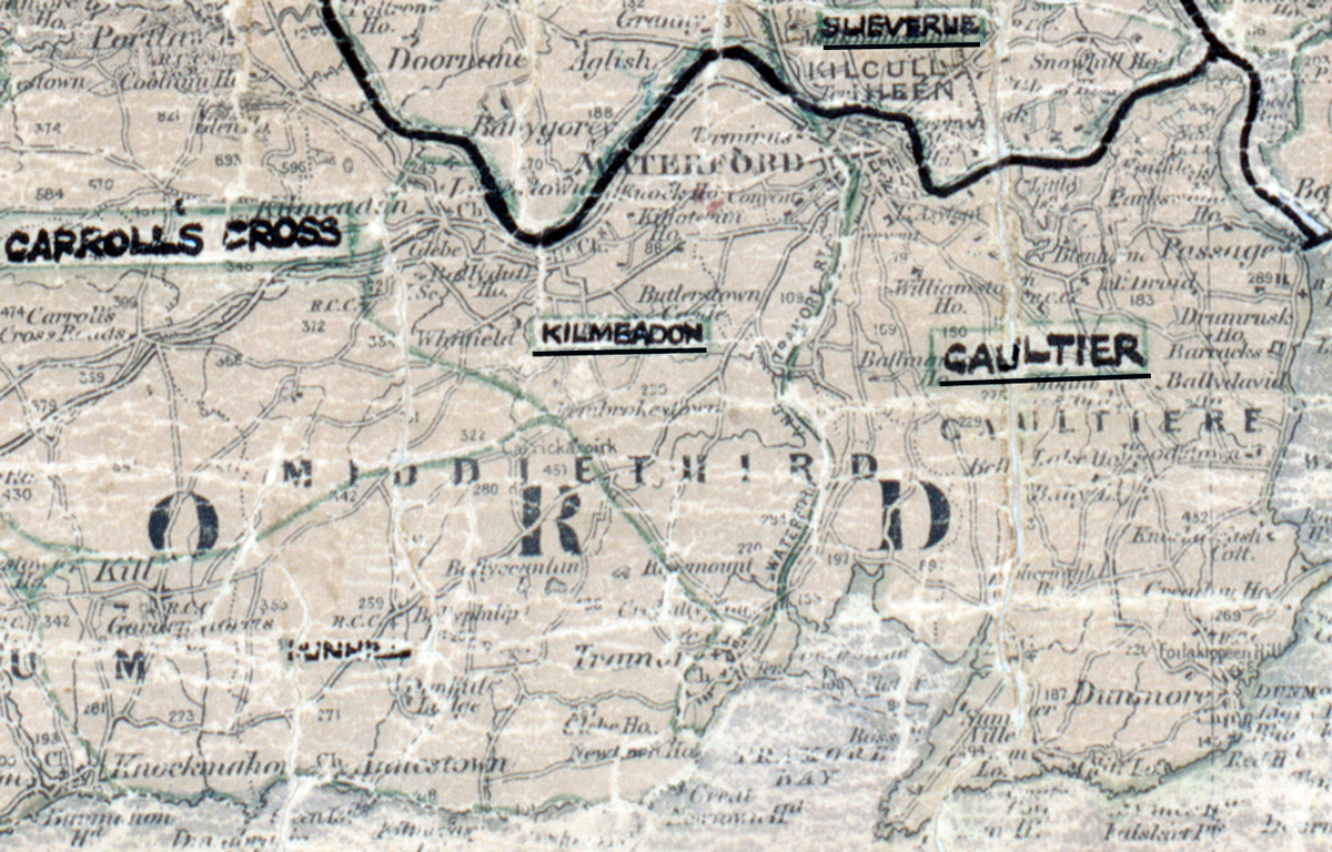
 Area: Kilmeadon
Started: August 1953
Finished: April 1954
Poles used: 917
Line used (km): 101
Premises connected: 213
The figures above were sourced from our REO News magazine, to learn more about what these figures mean, visit our interactive map. The map above shows the area boundary and is from a digitised version of the original map used during the scheme.
Sales in Kilmeadon were creditable reports The REO News from July 1954
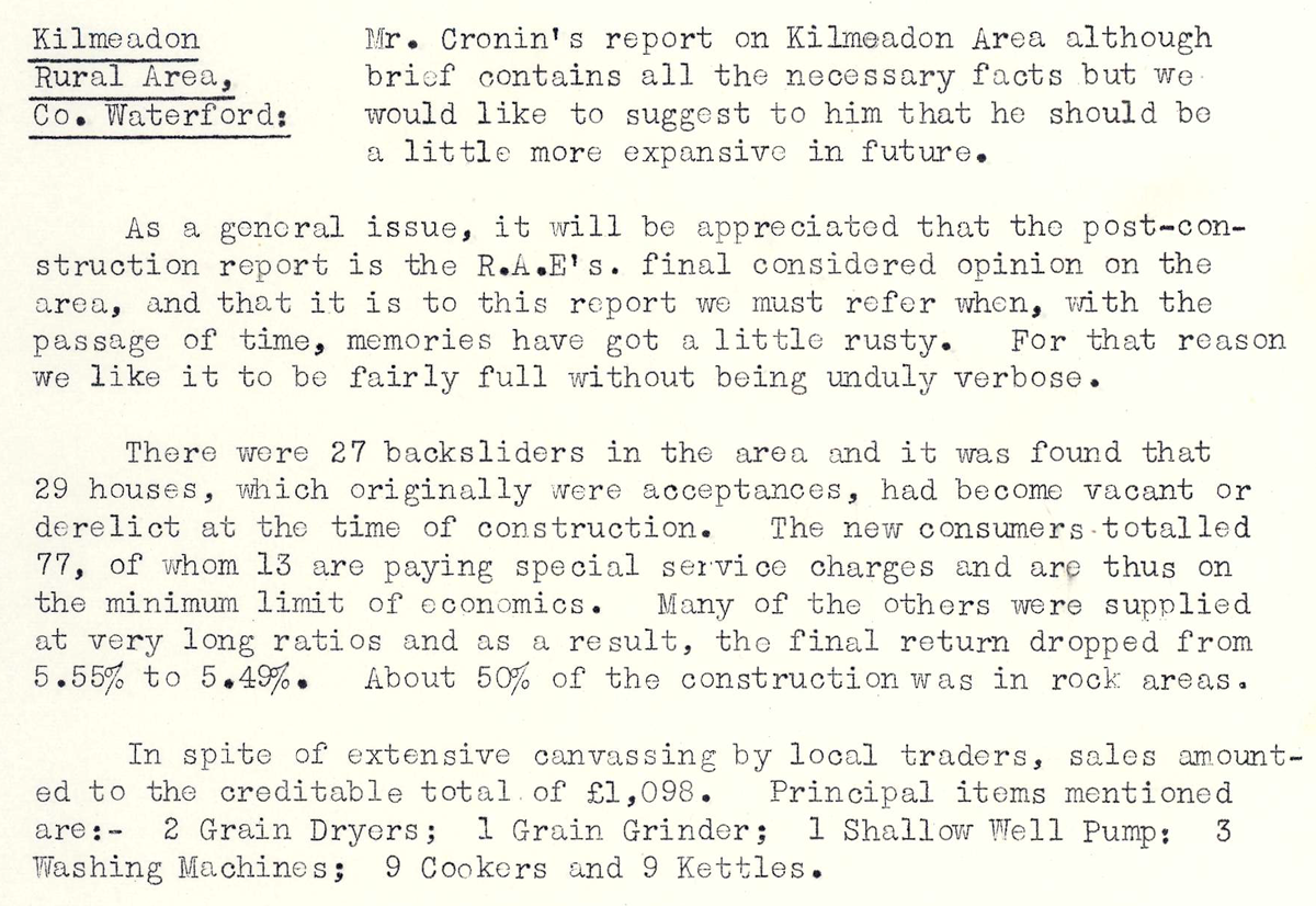 This digital scan from the REO News displays the following text:
"Kilmeadon Rural Area, Co. Waterford:
Mr. Cronin’s report on Kilmeadan Area although brief contains all the necessary facts but we would like to suggest to him that he should be a little more expansive in future.
As a general issue, it will be appreciated that the post‑construction report is the R.A.E.’s final considered opinion on the area, and that it is to this report we must refer when, with the passage of time, memories have got a little rusty. For that reason we like it to be fairly full without being unduly verbose.
There were 27 backsliders in the area and it was found that 29 houses, which originally were acceptances, had become vacant or derelict at the time of construction. The new consumers totalled 77, of whom 13 are paying special service charges and are thus on the minimum limit of economics. Many of the others were supplied at very long ratios and as a result, the final return dropped from 5.55% to 5.49%. About 50% of the construction was in rock areas.
In spite of extensive canvassing by local traders, sales amounted to the creditable total of £1,098. Principal items mentioned are: 2 Grain Dryers; 1 Grain Grinder; 1 Shallow Well Pump; 3 Washing Machines; 9 Cookers and 9 Kettles."