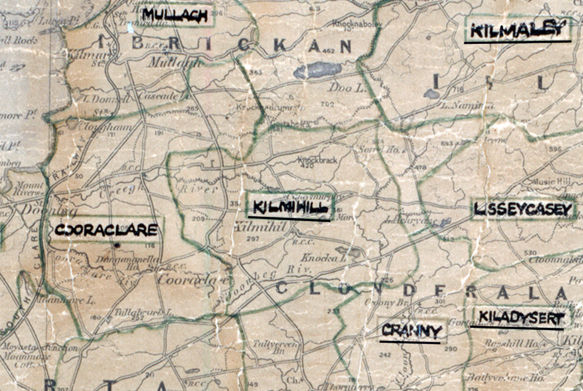
 Area: Kilmihill
Started: December 1954
Finished: July 1956
Poles used: 1538
Line used (km): 141
Premises connected: 360
The figures above were sourced from our REO News magazine, to learn more about what these figures mean, visit our interactive map. The map above shows the area boundary and is from a digitised version of the original map used during the scheme.
The REO News from September 1956 reports that Kilmihill was a difficult area
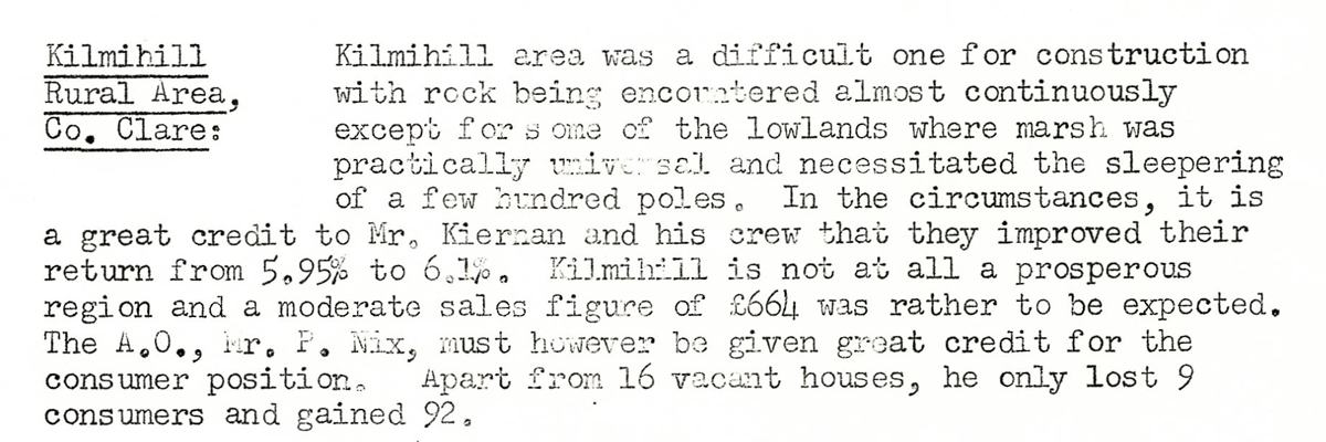
This digital scan from the REO News displays the following text:
"Kilmihill Rural Area, Co. Clare: Kilmihill area was a difficult one for construction with rock being encountered almost continuously except for one of the lowlands where marsh was practically universal and necessitated the sleepering of a few hundred poles. In the circumstances, it is a great credit to Mr. Kiernan and his crew that they improved their return from 5.95% to 6.1%. Kilmihill is not at all a prosperous region and a moderate sales figure of £664 was rather to be expected. The A.O., Mr. P. Nix, must however be given great credit for the consumer position. Apart from 16 vacant houses, he only lost 9 consumers and gained 92."