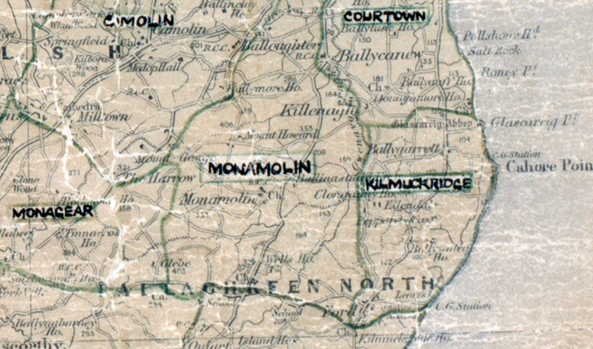
 Area: Kilmuckridge
Started: July 1949
Finished: May 1950
Poles used: 413
Line used (km): 28
Premises connected: 20
The figures above were sourced from our REO News magazine, to learn more about what these figures mean, visit our interactive map. The map above shows the area boundary and is from a digitised version of the original map used during the scheme.e.
Sales in Kilmuckridge were good according to The REO News from September 1950.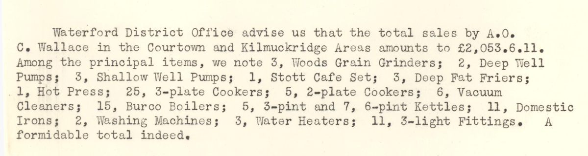 This digital scan from the REO News displays the following text:
“Waterford District Office advise us that the total sales by A.O. C. Wallace in the Courtown and Kilmuckridge Areas amounts to £2,053.6.11. Among the principal items, we note 3, Woods Grain Grinders; 2, Deep Well Pumps; 3, Shallow Well Pumps; 1, Stott Cafe Set; 3, Deep Fat Friers; 1, Hot Press; 25, 3‑plate Cookers; 5, 2‑plate Cookers; 6, Vacuum Cleaners; 15, Burco Boilers; 5, 3‑pint and 7, 6‑pint Kettles; 11, Domestic Irons; 2, Washing Machines; 3, Water Heaters; 11, 3‑light Fittings. A formidable total indeed.”