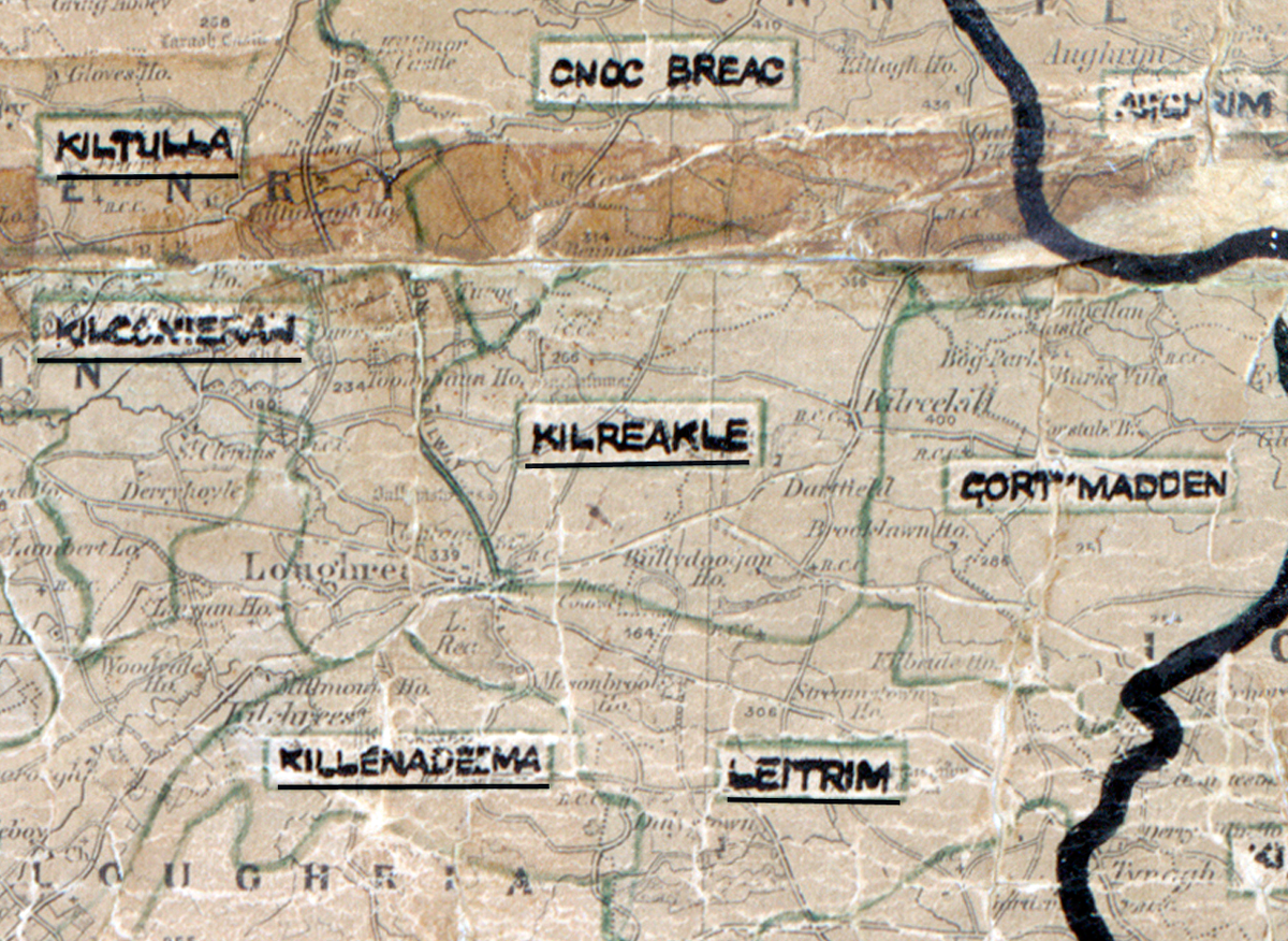
 Area: Kilrickle
Started: September 1954
Finished: July 1955
Poles used: 935
Line used (km): 84
Premises connected: 240
The figures above were sourced from our REO News magazine, to learn more about what these figures mean, visit our interactive map. The map above shows the area boundary and is from a digitised version of the original map used during the scheme.
The REO News from August 1955 reports that a large boggy area in Kilrickle caused some difficulty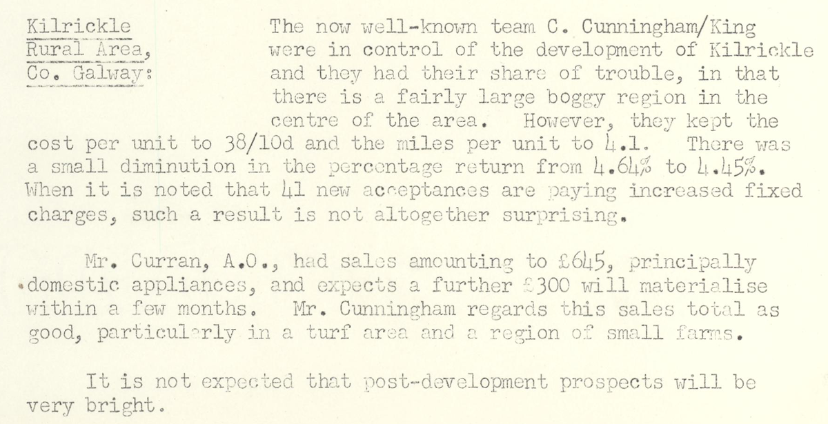 This digital scan from the REO News displays the following text:
"Kilrickle Rural Area, Co. Galway:
The now well‑known team C. Cunningham/King were in control of the development of Kilrickle and they had their share of trouble, in that there is a fairly large boggy region in the centre of the area. However, they kept the cost per unit to 38/10d and the miles per unit to 4.1. There was a small diminution in the percentage return from 4.64% to 4.45%. When it is noted that 41 new acceptances are paying increased fixed charges, such a result is not altogether surprising.
Mr. Curran, A.O., had sales amounting to £645, principally domestic appliances, and expects a further £300 will materialise within a few months. Mr. Cunningham regards this sales total as good, particularly in a turf area and a region of small farms.
It is not expected that post‑development prospects will be very bright."