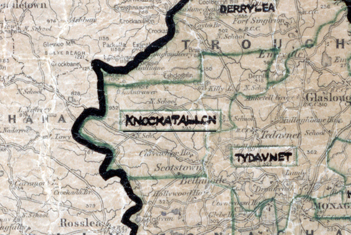
 Area: Knockatallon
Started: September 1955
Finished: October 1956
Poles used: 1561
Line used (km): 132
Premises connected: 209
The figures above were sourced from our REO News magazine, to learn more about what these figures mean, visit our interactive map. The map above shows the area boundary and is from a digitised version of the original map used during the scheme.
The local curate in Knockatallon received high praise in The REO News from October 1956
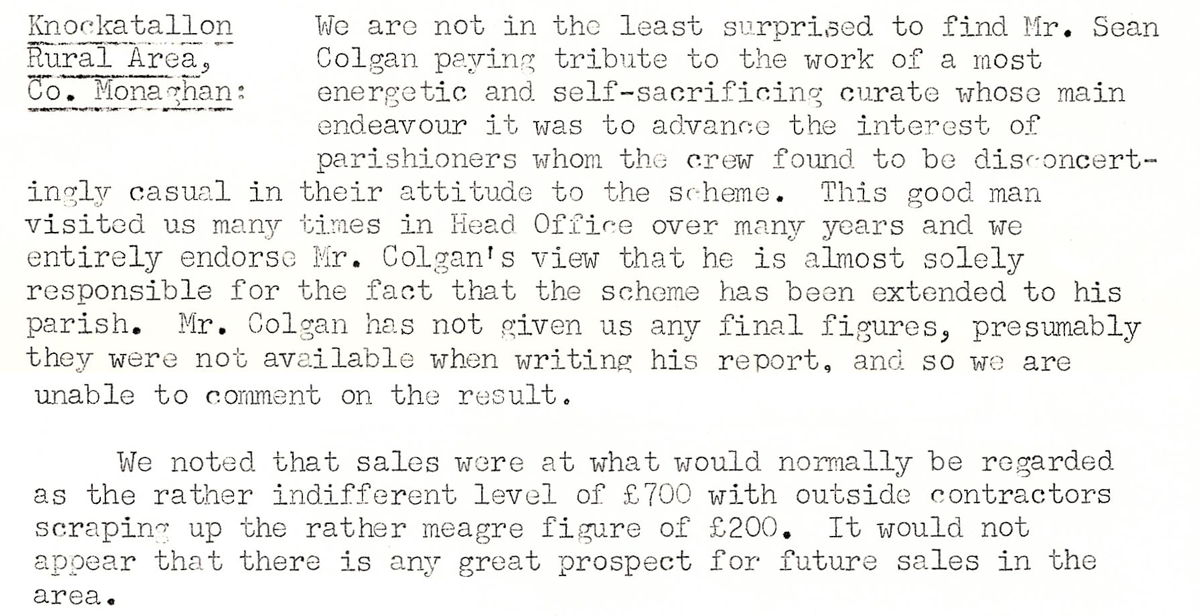
This digital scan from the REO News displays the following text:
"Knockatallon Rural Area, Co. Monaghan:
We are not in the least surprised to find Mr. Sean Colgan paying tribute to the work of a most energetic and self‑sacrificing curate whose main endeavour it was to advance the interest of parishioners whom the crew found to be disconcertingly casual in their attitude to the scheme. This good man visited us many times in Head Office over many years and we entirely endorse Mr. Colgan’s view that he is almost solely responsible for the fact that the scheme has been extended to his parish. Mr. Colgan has not given us any final figures, presumably they were not available when writing his report, and so we are unable to comment on the result.
We noted that sales were at what would normally be regarded as the rather indifferent level of £700 with outside contractors scraping up the rather meagre figure of £200. It would not appear that there is any great prospect for future sales in the area."