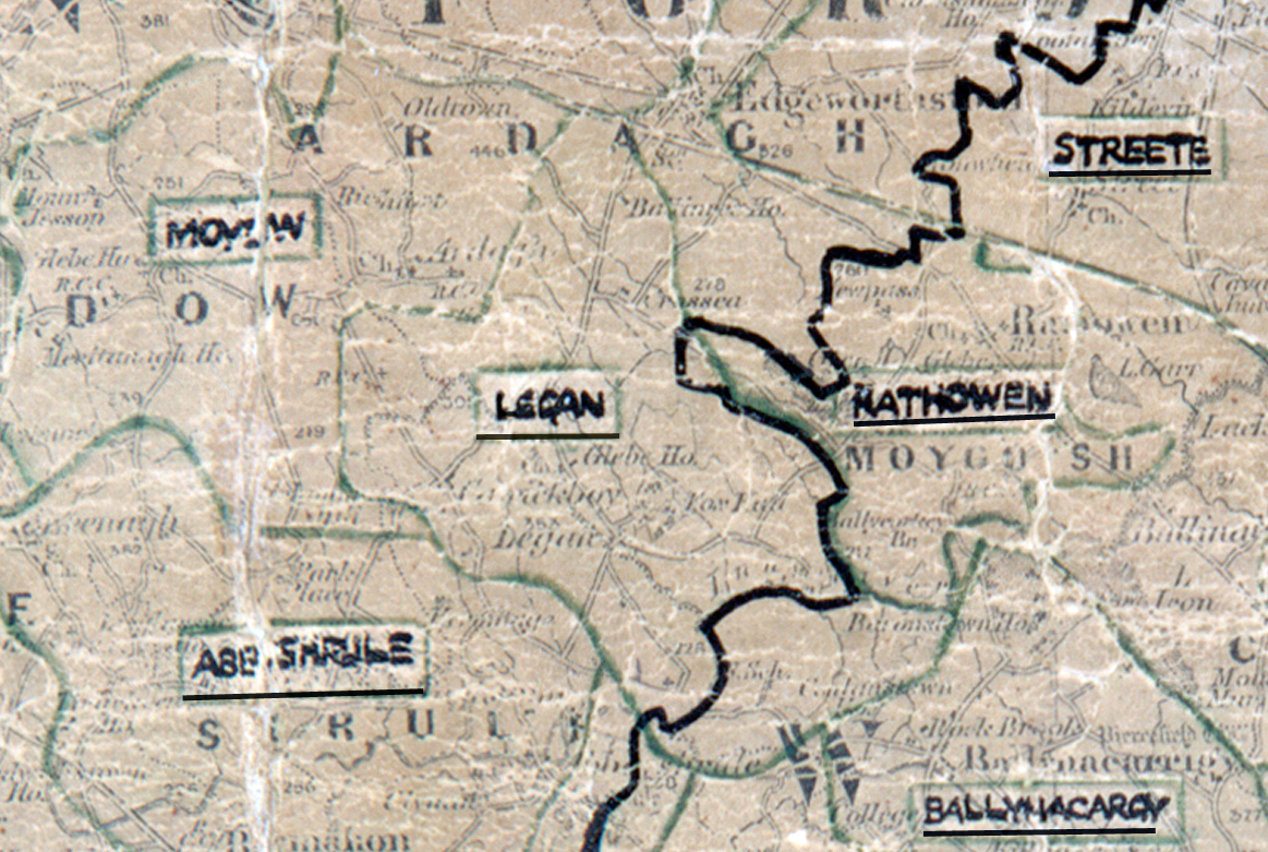
 Area: Legan
Started: September 1954
Finished: August 1955
Poles used: 1080
Line used (km): 93
Premises connected: 162
The figures above were sourced from our REO News magazine, to learn more about what these figures mean, visit our interactive map. The map above shows the area boundary and is from a digitised version of the original map used during the scheme.
The REO News from November has a brief report on Legan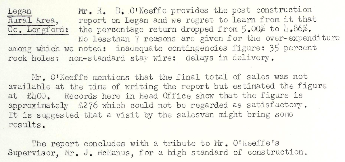 This digital scan from the REO News displays the following text:
"Legan Rural Area, Co. Longford:
Mr. H. D. O’Keeffe provides the post construction report on Legan and we regret to learn from it that the percentage return dropped from 5.00% to 4.86%. No less than 7 reasons are given for the over‑expenditure among which we noted: inadequate contingencies figure; 35 percent rock holes; non‑standard stay wire; delays in delivery.
Mr. O’Keeffe mentions that the final total of sales was not available at the time of writing the report but estimated the figure at £400. Records here in Head Office show that the figure is approximately £276 which could not be regarded as satisfactory. It is suggested that a visit by the salesvan might bring some results.
The report concludes with a tribute to Mr. O’Keeffe’s Supervisor, Mr. J. McManus, for a high standard of construction."