 Area: Legga
Started: July 1956
Finished: November 1956
Poles used: 1650
Line used (km): 137
Premises connected: 100
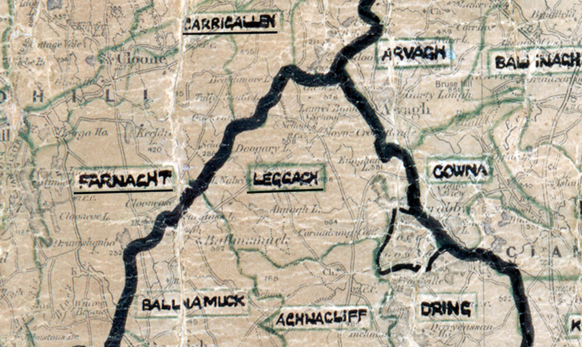
The figures above were sourced from our REO News magazine, to learn more about what these figures mean, visit our interactive map. The map above shows the area boundary and is from a digitised version of the original map used during the scheme.
Rock and bog were plentiful in Legga according to The REO News from March 1957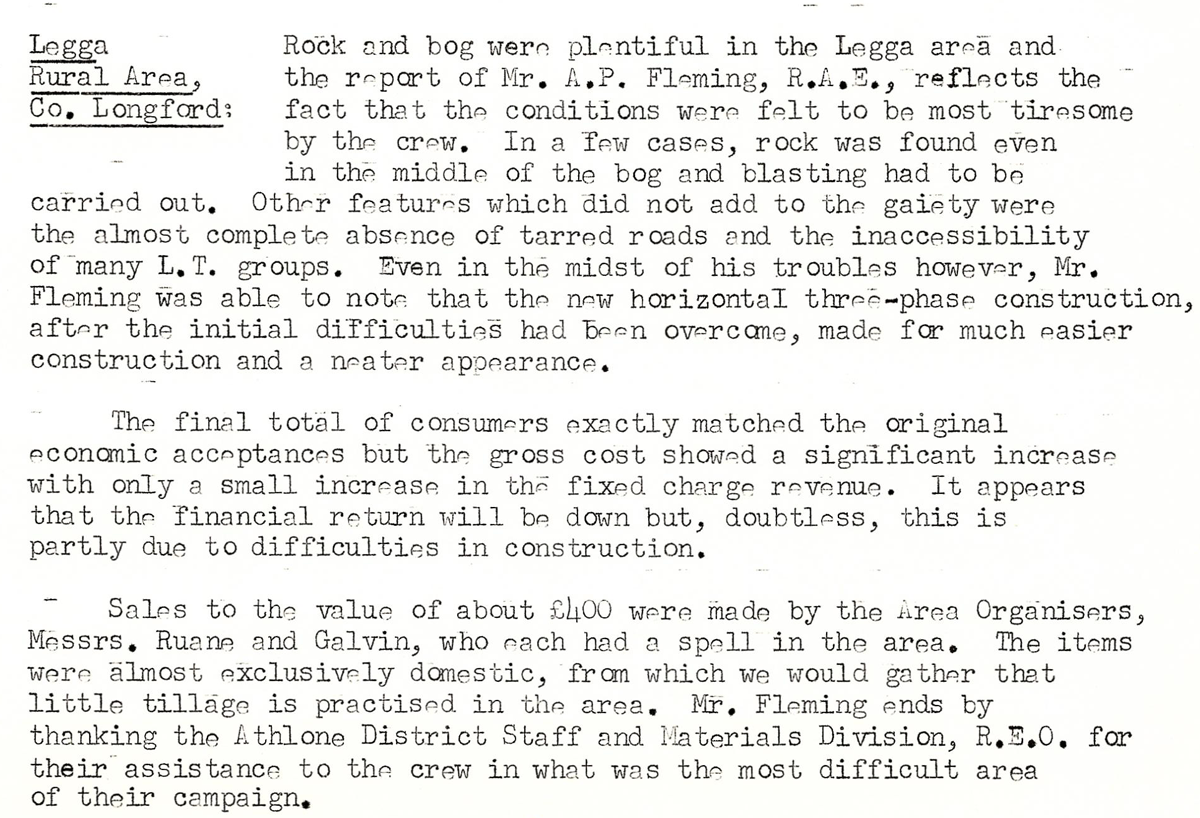 This digital scan from the REO News displays the following text:
"Legga Rural Area, Co. Longford:
Rock and bog were plentiful in the Legga area and the report of Mr. A. P. Fleming, R.A.E., reflects the fact that the conditions were felt to be most tiresome by the crew. In a few cases, rock was found even in the middle of the bog and blasting had to be carried out. Other features which did not add to the gaiety were the almost complete absence of tarred roads and the inaccessibility of many L.T. groups. Even in the midst of his troubles however, Mr. Fleming was able to note that the new horizontal three‑phase construction, after the initial difficulties had been overcome, made for much easier construction and a neater appearance.
The final total of consumers exactly matched the original economic acceptances but the gross cost showed a significant increase with only a small increase in the fixed charge revenue. It appears that the financial return will be down but, doubtless, this is partly due to difficulties in construction.
Sales to the value of about £400 were made by the Area Organisers, Messrs. Ruane and Galvin, who each had a spell in the area. The items were almost exclusively domestic, from which we would gather that tillage is practised in the area. Mr. Fleming ends by thanking the Athlone District Staff and Materials Division, R.E.O. for their assistance to the crew in what was the most difficult area of their campaign."