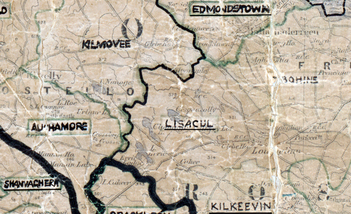
Area: Lisacul
Started: January 1962
Finished: August 1962
Poles used: 1112
Line used (km): 86
Premises connected: 443
The figures above were sourced from our REO News magazine, to learn more about what these figures mean, visit our interactive map. The map above shows the area boundary and is from a digitised version of the original map used during the scheme.