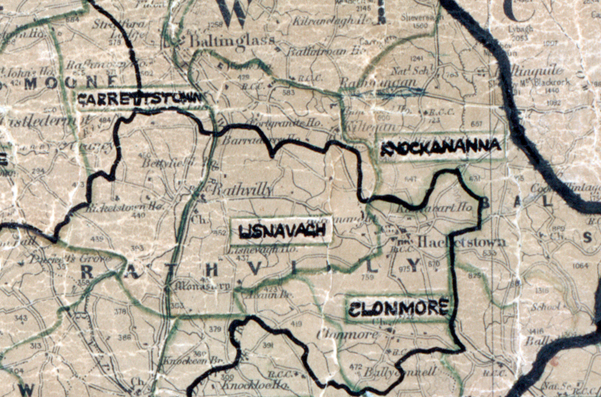
 Area: Lisnavagh
Started: December 1950
Finished: October 1951
Poles used: 889
Line used (km): 81
Premises connected: 93
The figures above were sourced from our REO News magazine, to learn more about what these figures mean, visit our interactive map. The map above shows the area boundary and is from a digitised version of the original map used during the scheme.
Annual leave and harvesting caused some problems in Lisnavagh according to The REO News from November 1951.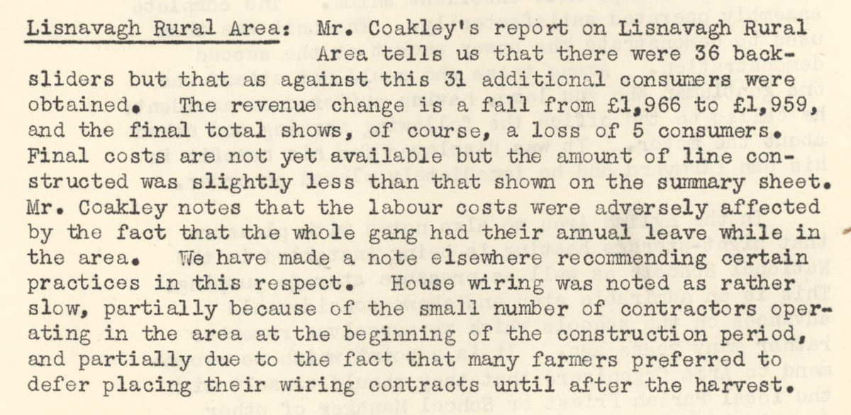 This digital scan from the REO News displays the following text:
"Lisnavagh Rural Area: Mr. Coakley’s report on Lisnavagh Rural Area tells us that there were 36 back‑sliders but that as against this 31 additional consumers were obtained. The revenue change is a fall from £1,966 to £1,959, and the final total shows, of course, a loss of 5 consumers. Final costs are not yet available but the amount of line constructed was slightly less than that shown on the summary sheet. Mr. Coakley notes that the labour costs were adversely affected by the fact that the whole gang had their annual leave while in the area. We have made a note elsewhere recommending certain practices in this respect. House wiring was noted as rather slow, partially because of the small number of contractors operating in the area at the beginning of the construction period, and partially due to the fact that many farmers preferred to defer placing their wiring contracts until after the harvest."